AT Week 5-6_Vermont

..in my shadow

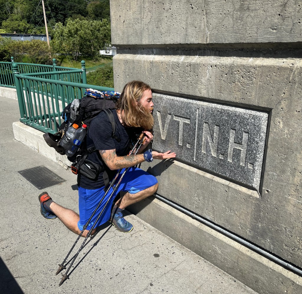
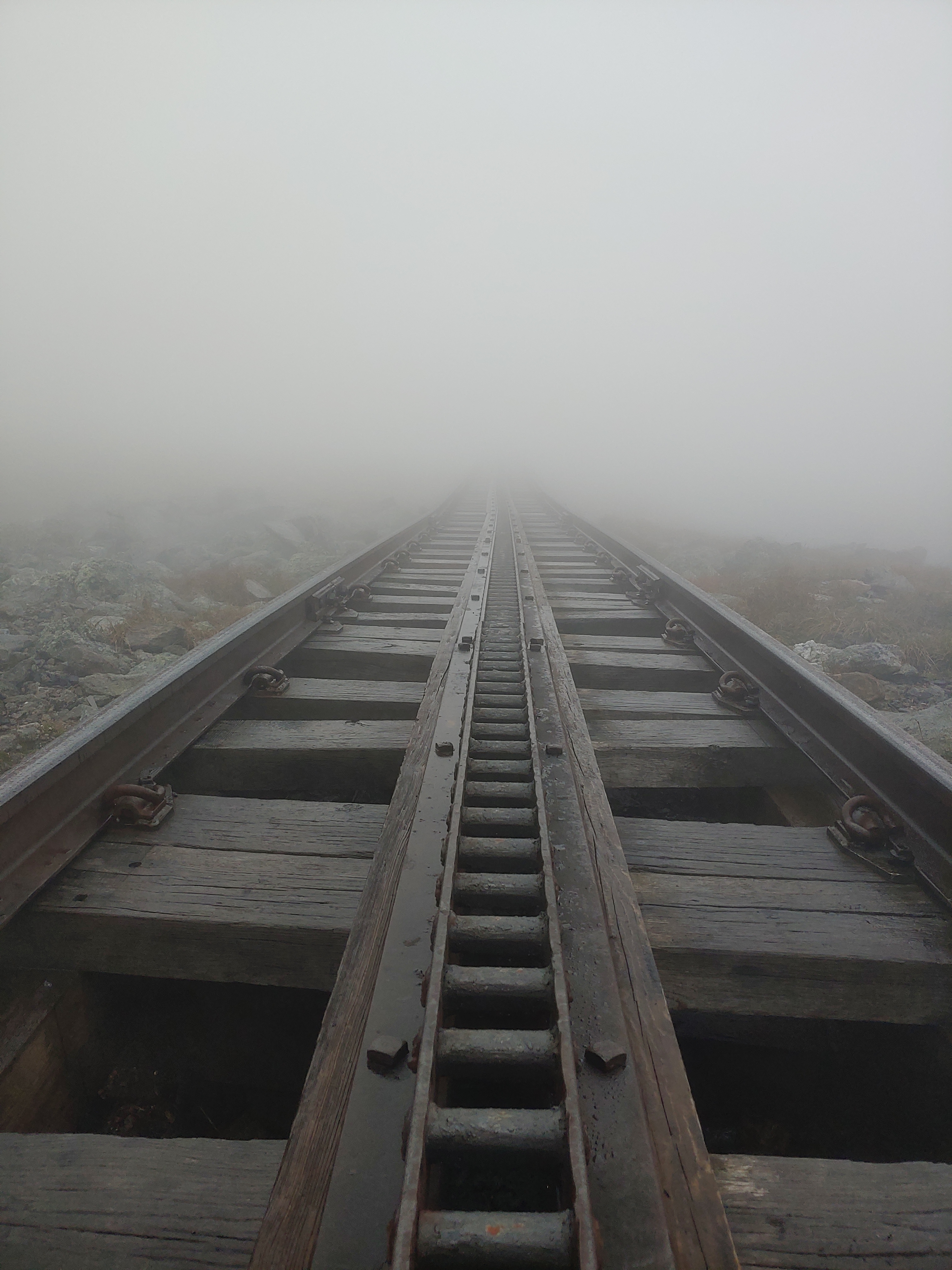
Having completed the undisputedly  toughest states on the AT (Maine and New Hampshire), I eagerly looked forward to the more gentle terrain of the 12 remaining southern states. After a few days of rest and relaxation in Hanover, I stepped back into the woods on a late Wednesday afternoon with a fully loaded pack ready for new adventures in the Green Mountain State of Vermont.

Just a walk in the woods

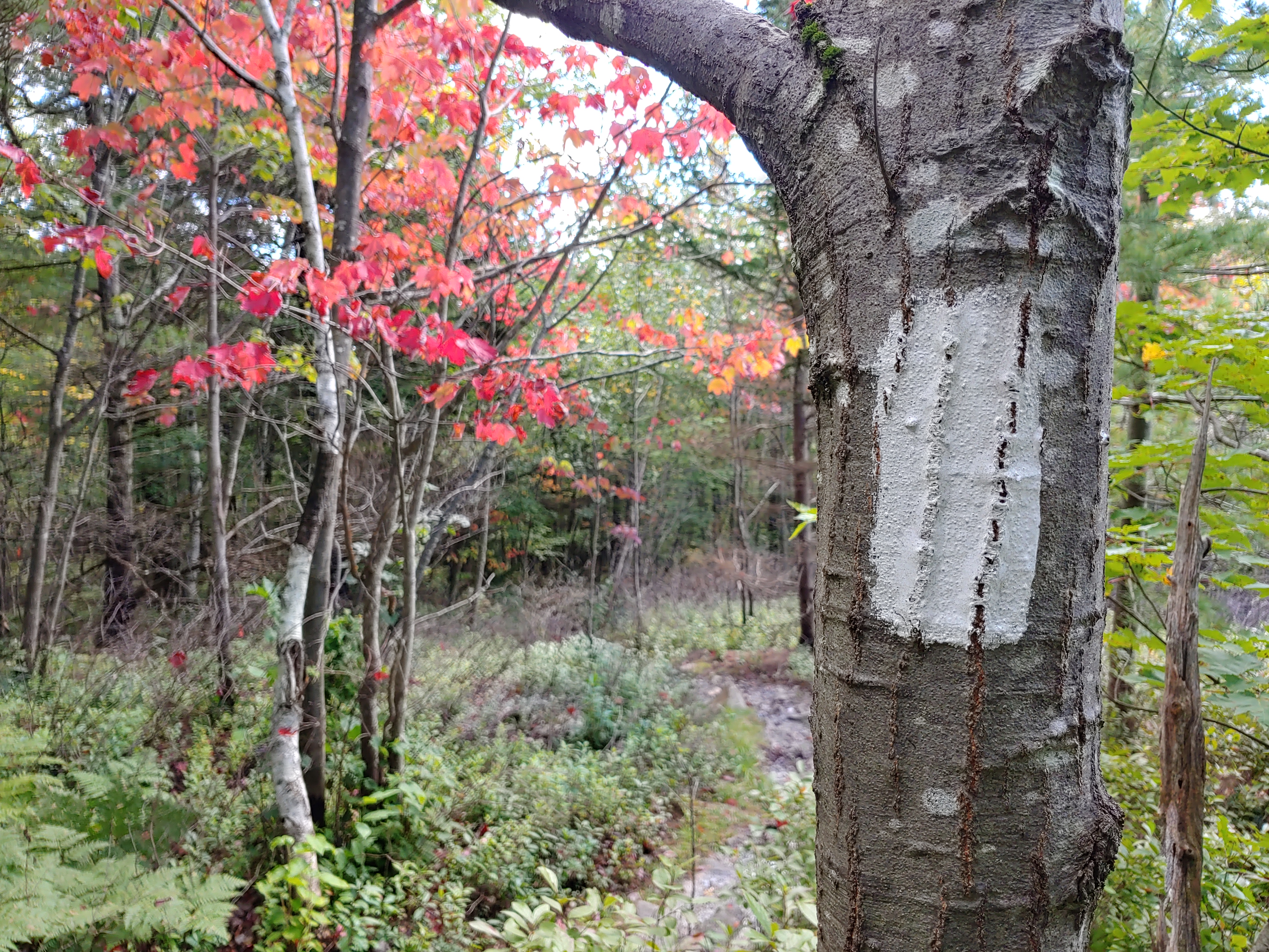
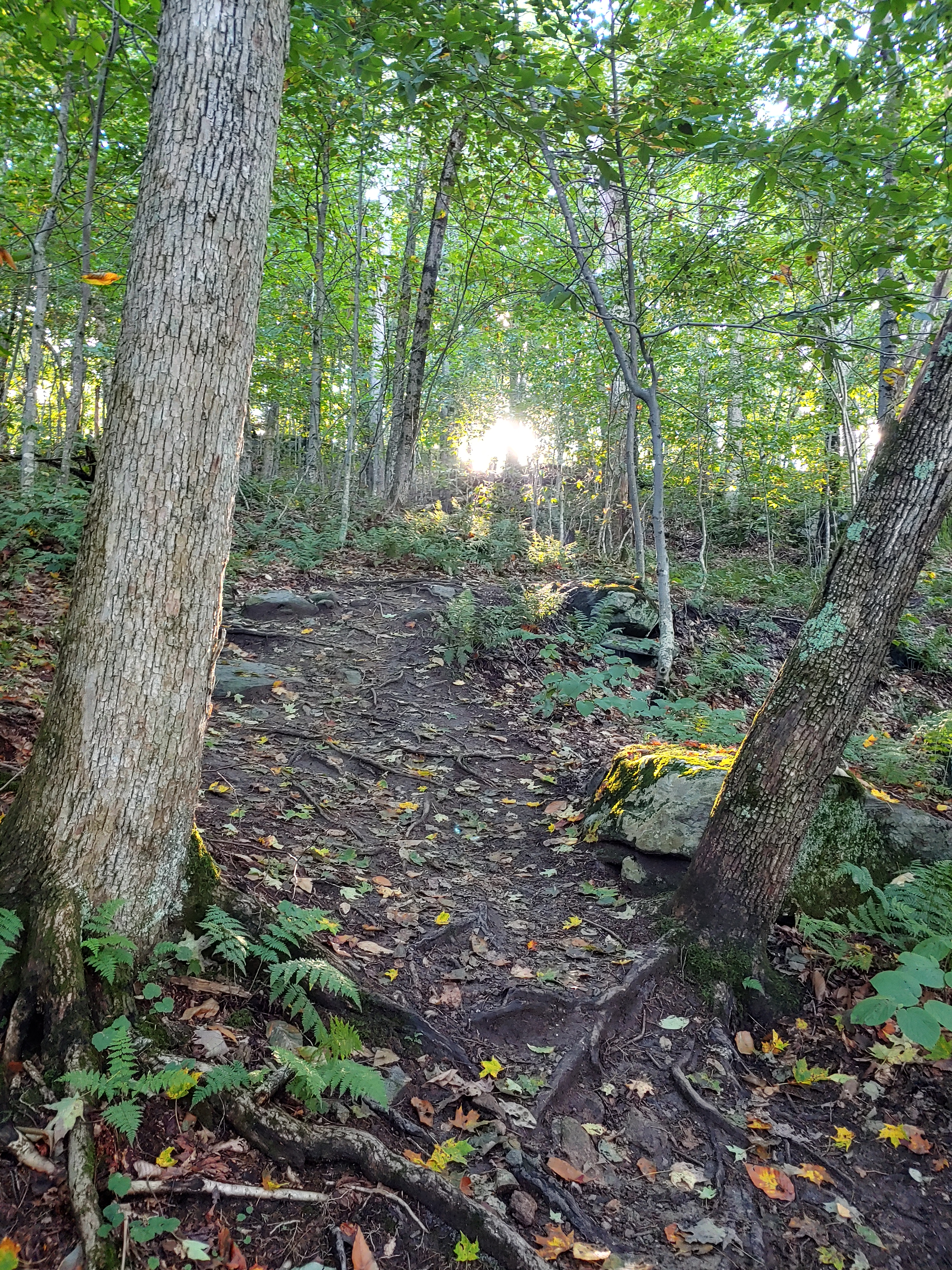
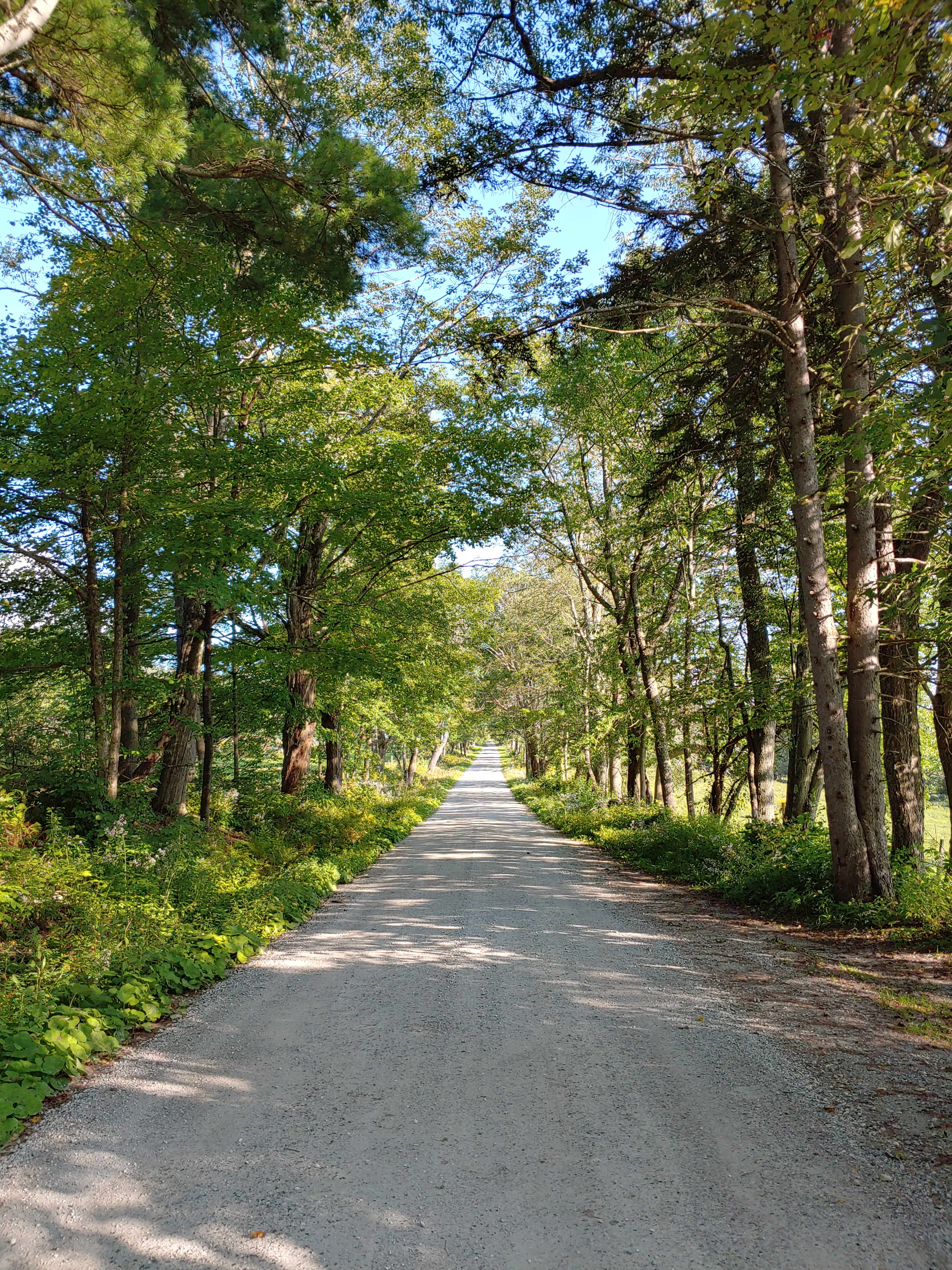
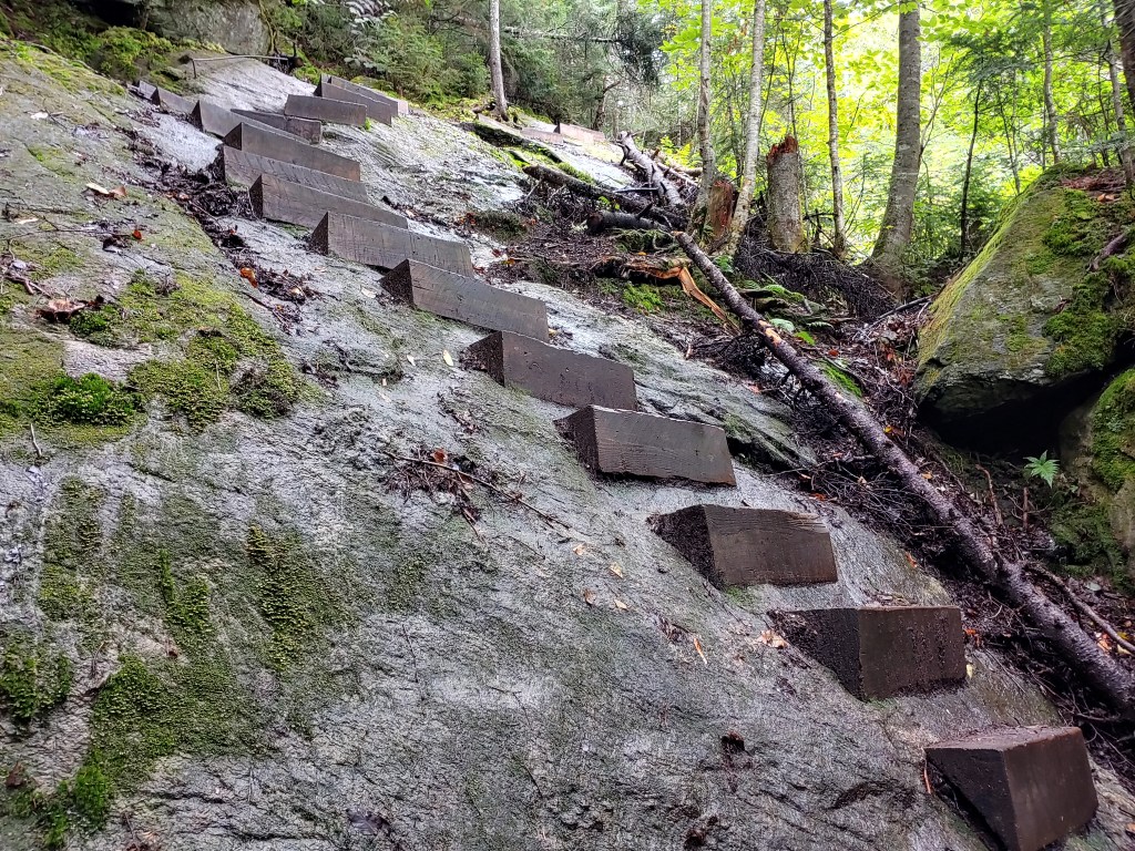
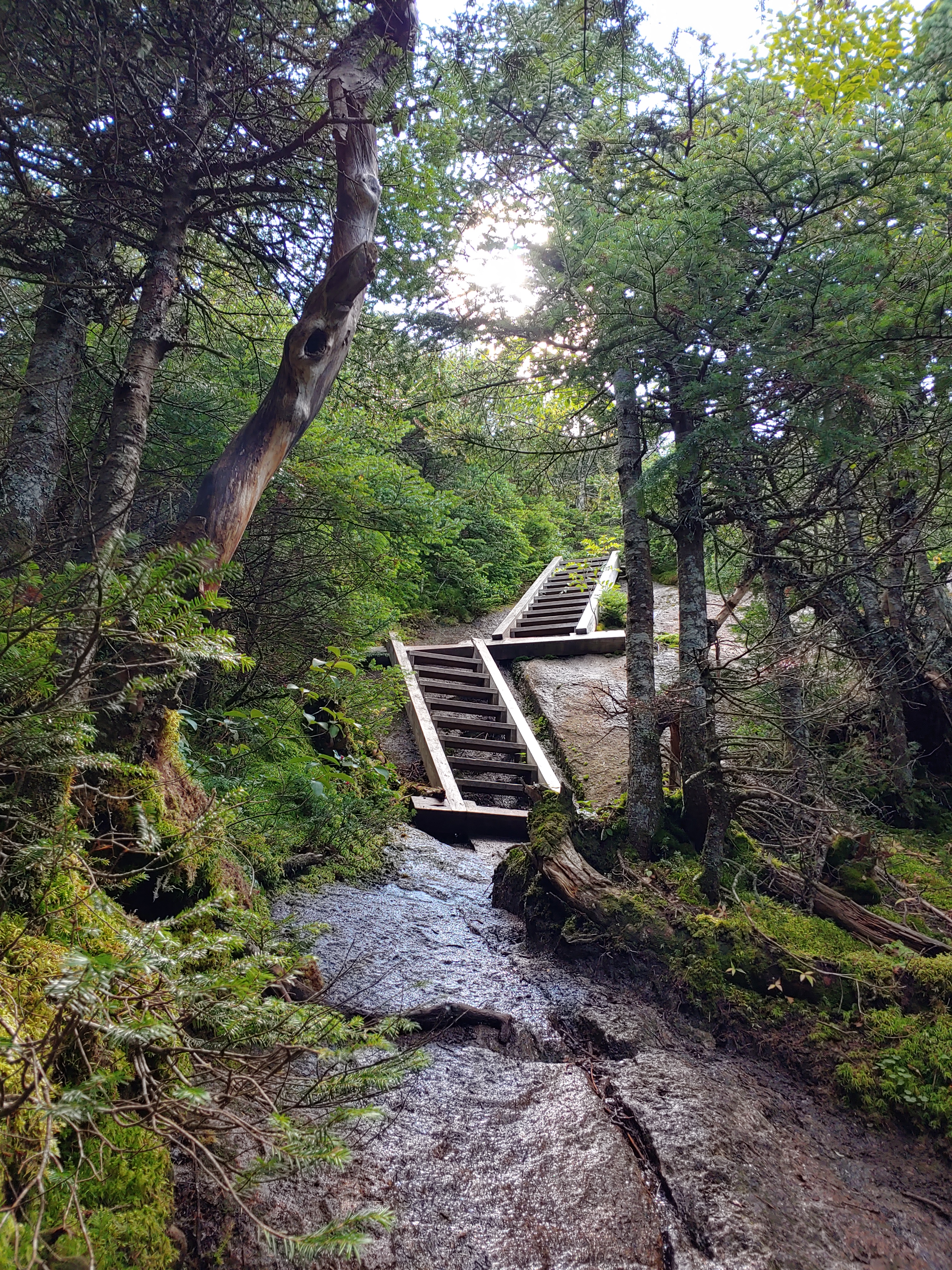
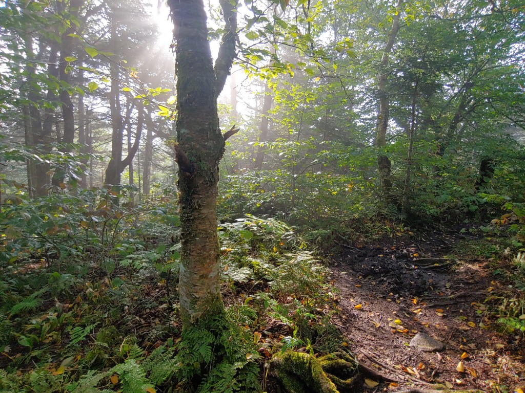
Crossing into Vermont, the trail took on an obvious departure from the more familiar long rocky stair-stepping climbs of the previous weeks and transitioned to smoother gradually inclined packed dirt surfaces, ripe with plenty of switchbacks and void of the treacherously slick roots and jagged rocks. Although the terrain was slightly easier, the hiking also targeted different muscles, taxing more of my hamstrings and calves to walk up the ramp-like inclines.

One of many switchbacks

Spending the first two nights camping by myself in empty shelters, it became evident that the bubble of northbound hikers was dwindling, and a new realization that the trail would be a more solitary experience started to sink in. It was an ironically eerie feeling to arrive at the Happy Hill shelter late that Wednesday afternoon without seeing another hiker in passing. As the night wore on, it was clear that I would have the place to myself and, since the weather called for rain storms, I decided to stay in the stacked stone structure reminiscent of an old church or schoolhouse. Sleeping alone in the old stone shelter during a night filled with thunder, lightning, and heavy downpours, I had little sense of comfort with a mind filled by scenes from countless scary movies. But the pitter patter of raindrops on the metal roof slowly but reassuringly lulled me to sleep.

The ground is lava..of sorts

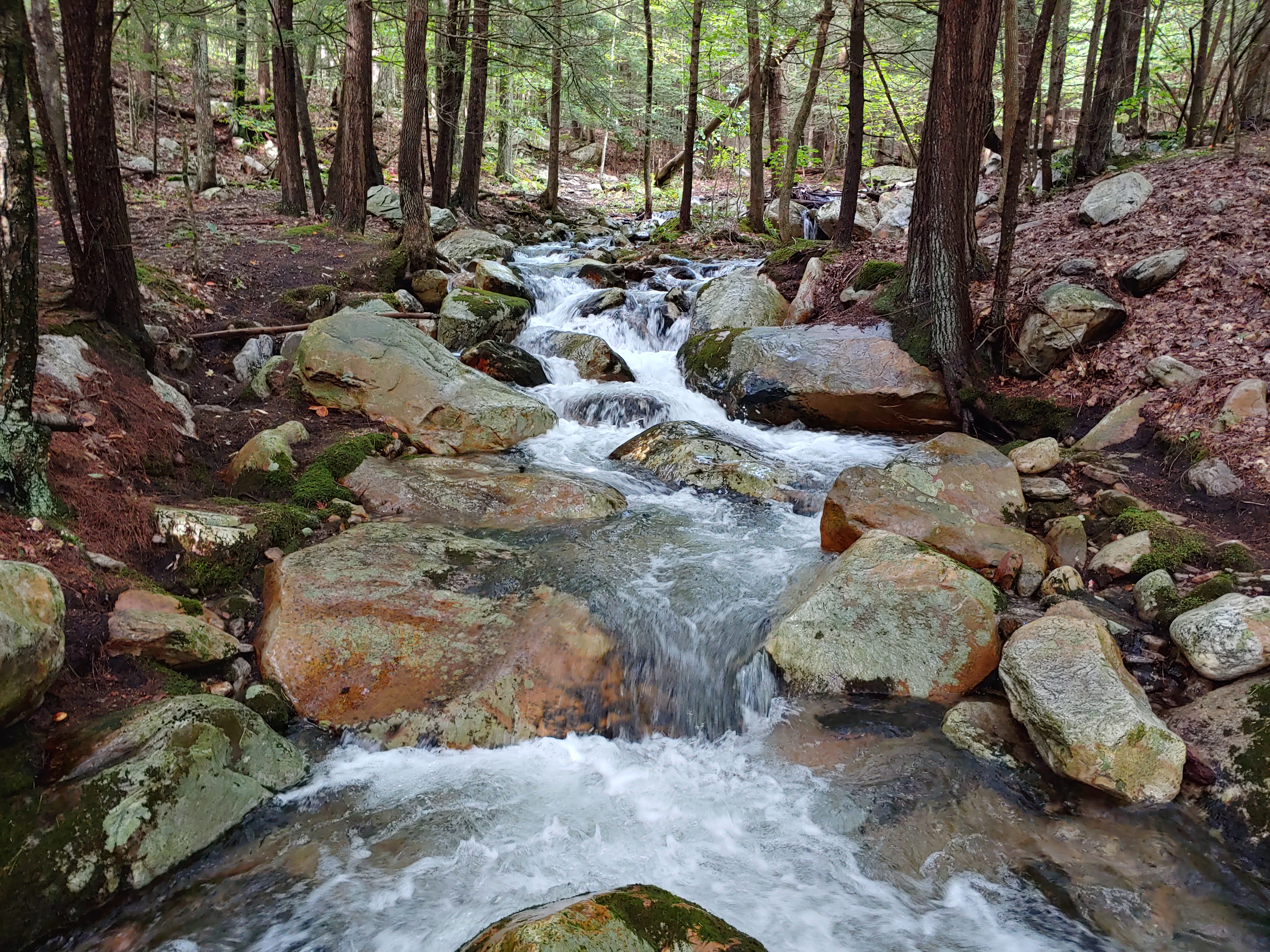
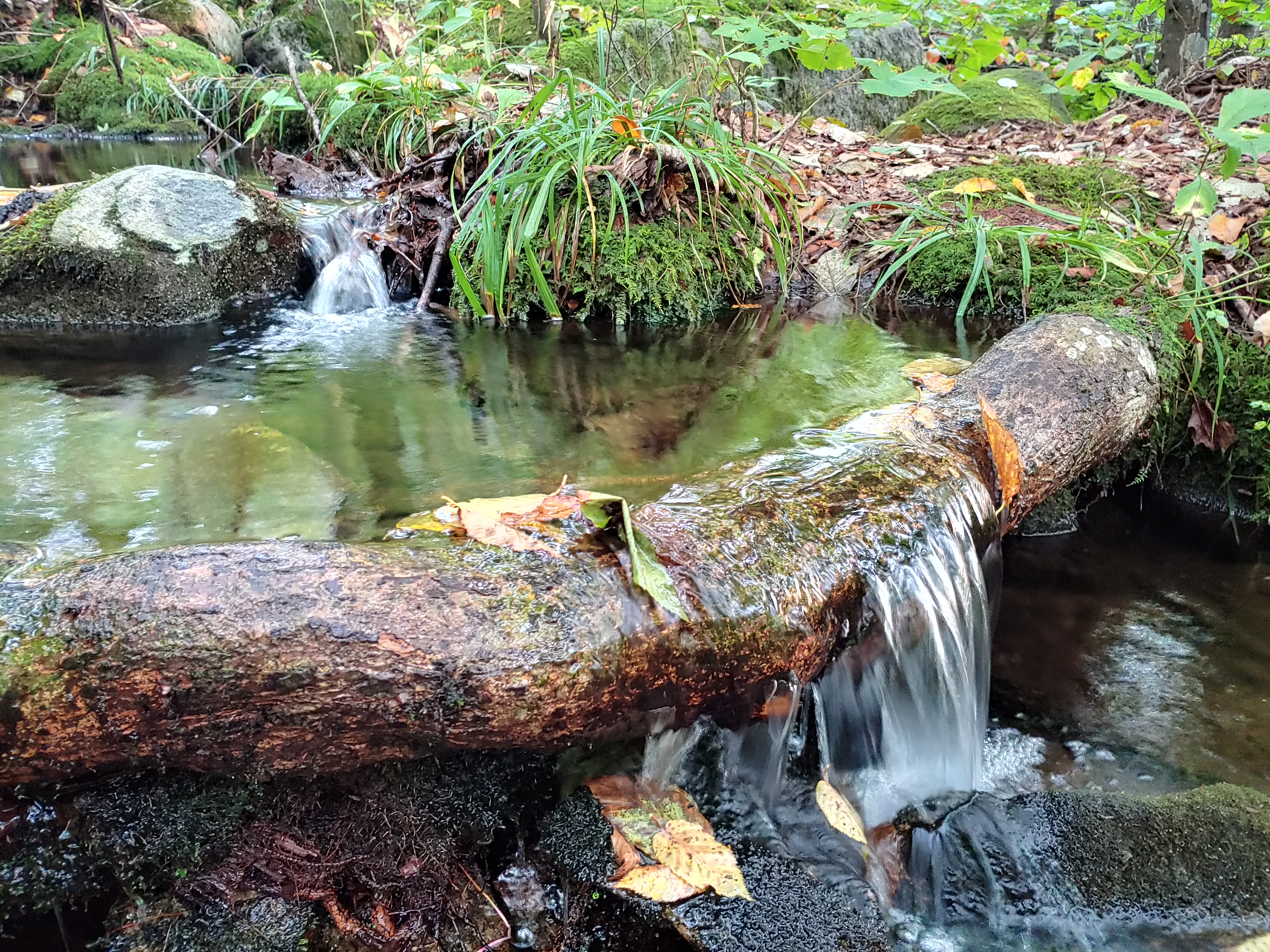
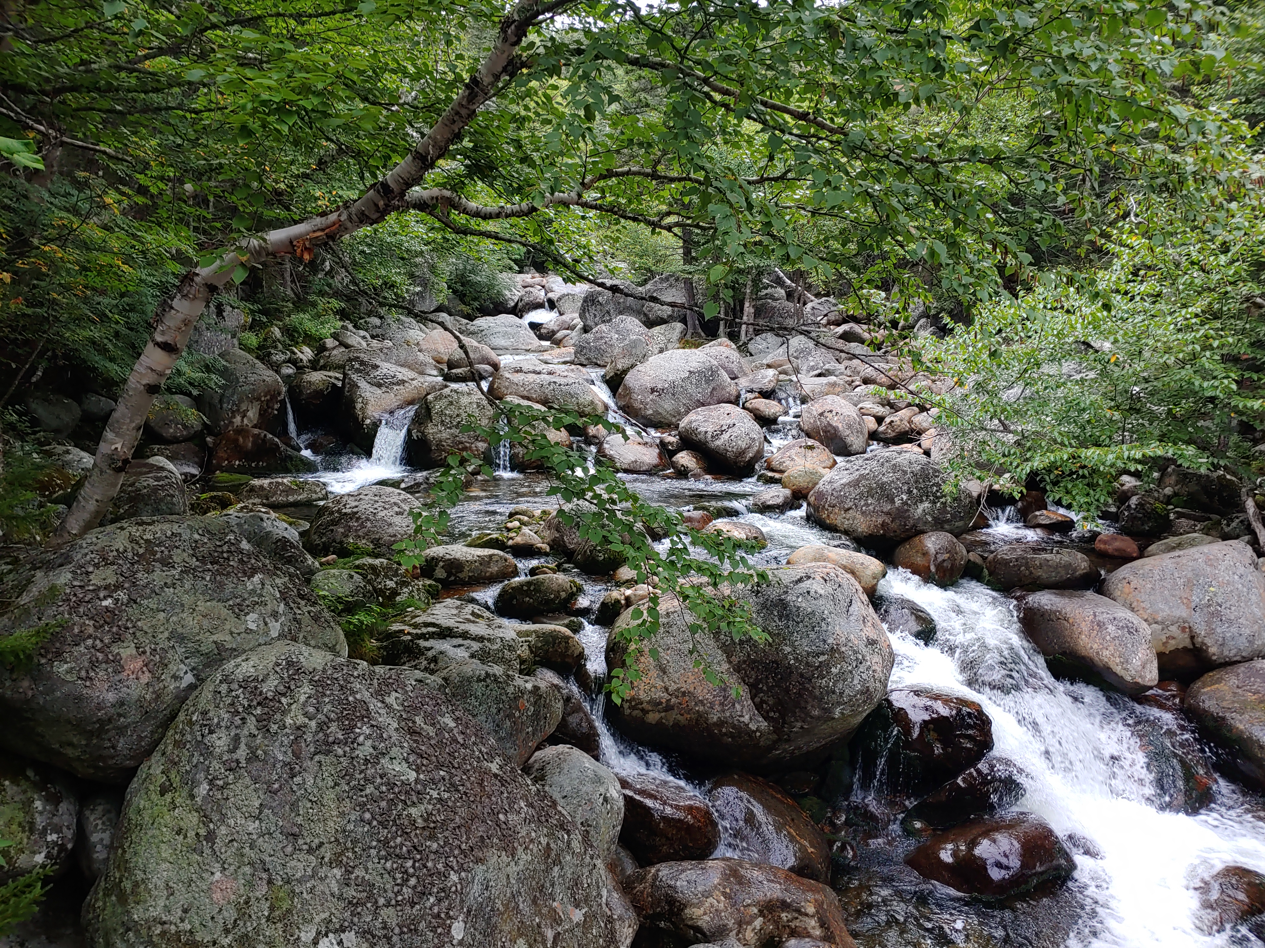
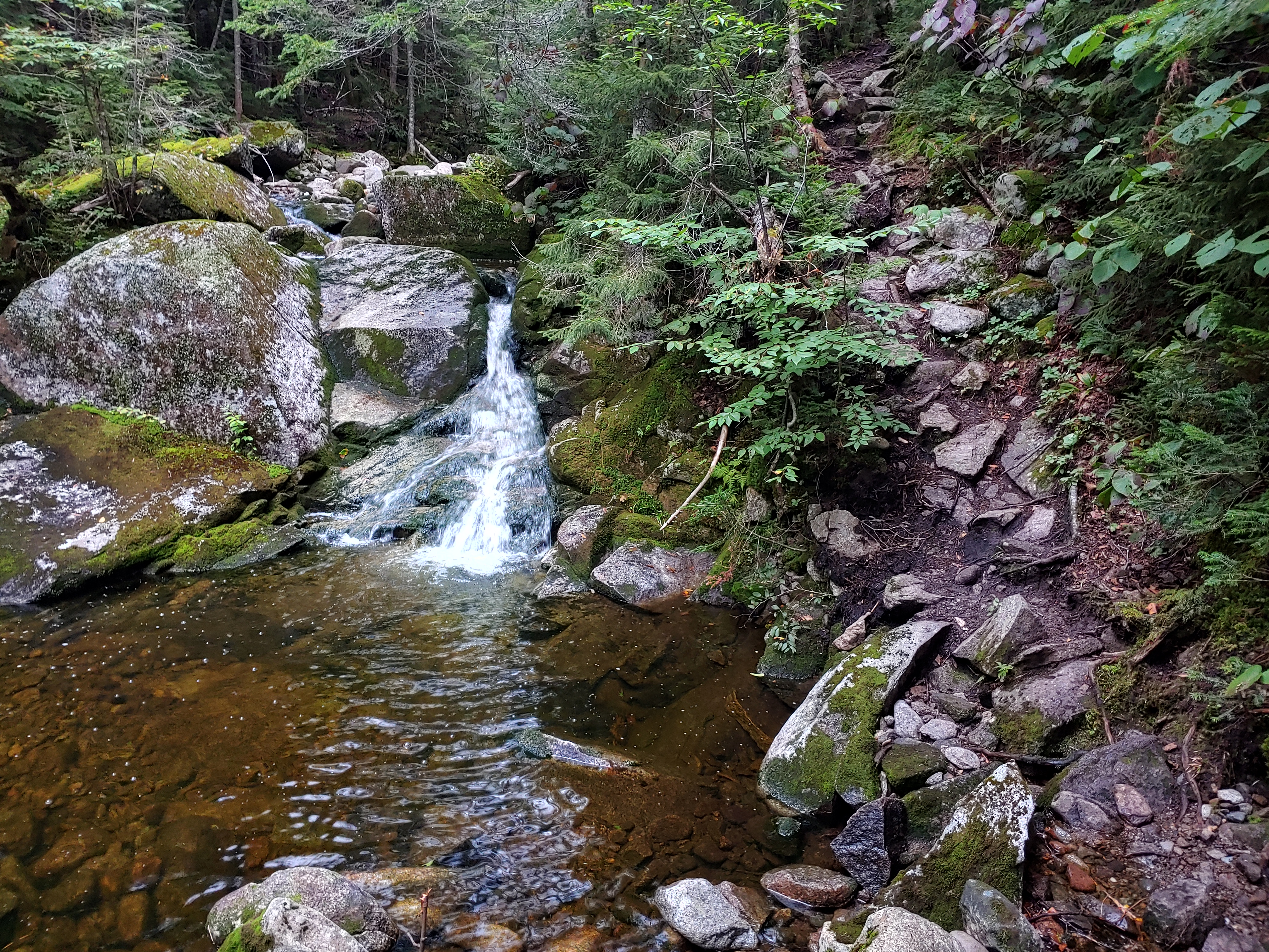
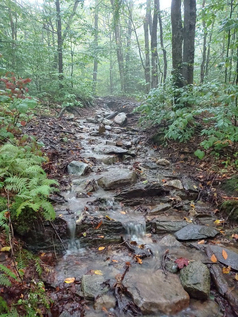
Unscathed, I awoke in the morning to a fully saturated forest floor all around me. The streambed behind the shelter which was bone dry the night before when I arrived was now a flowing path of gushing liquid freshly fallen from the heavens. This new moisture rich earth foreshadowed the soggy and muddy terrain that lie ahead.

Those are some good looking powerlines

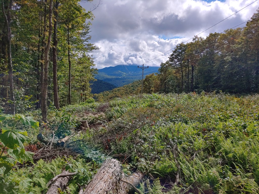
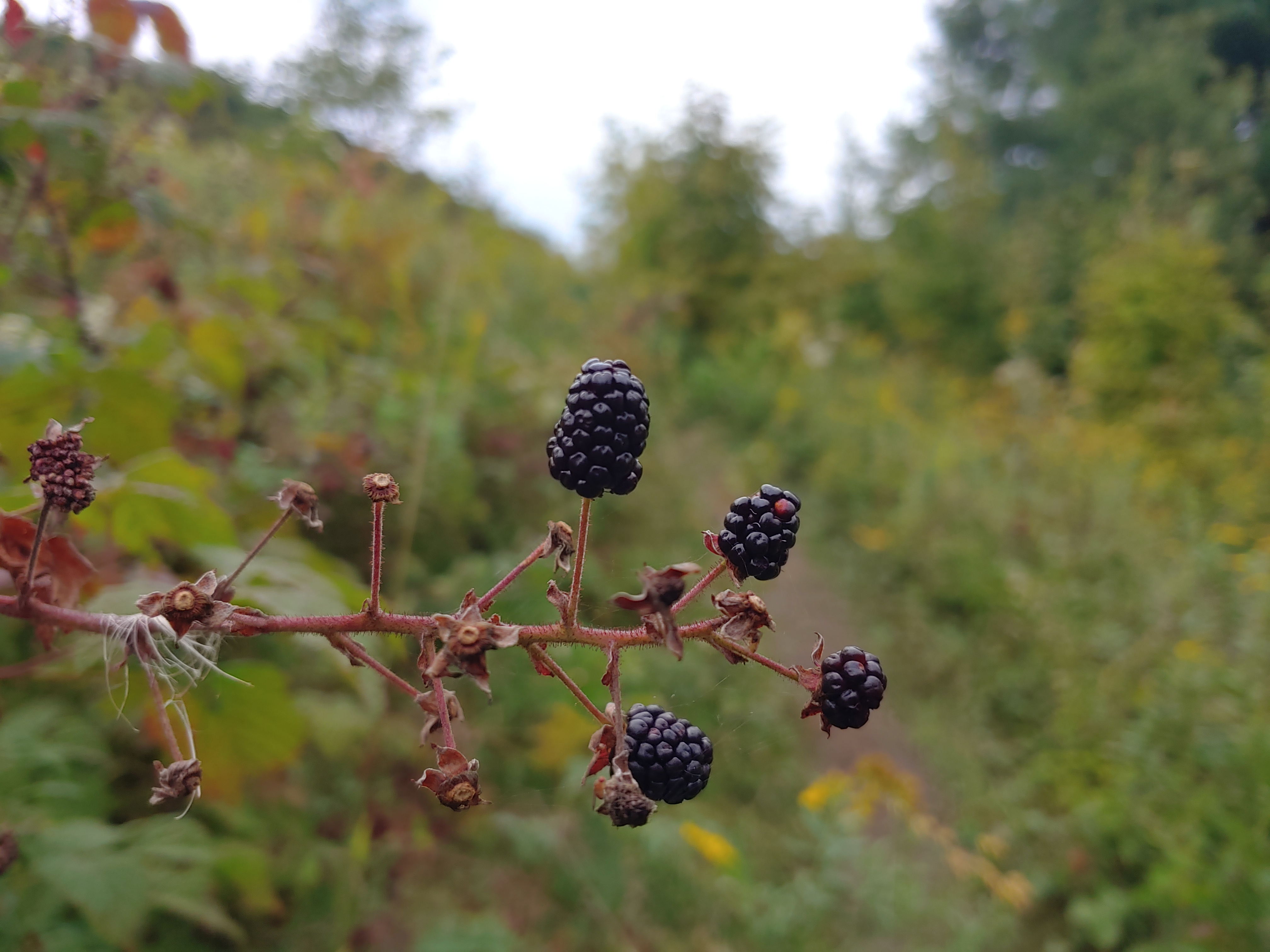
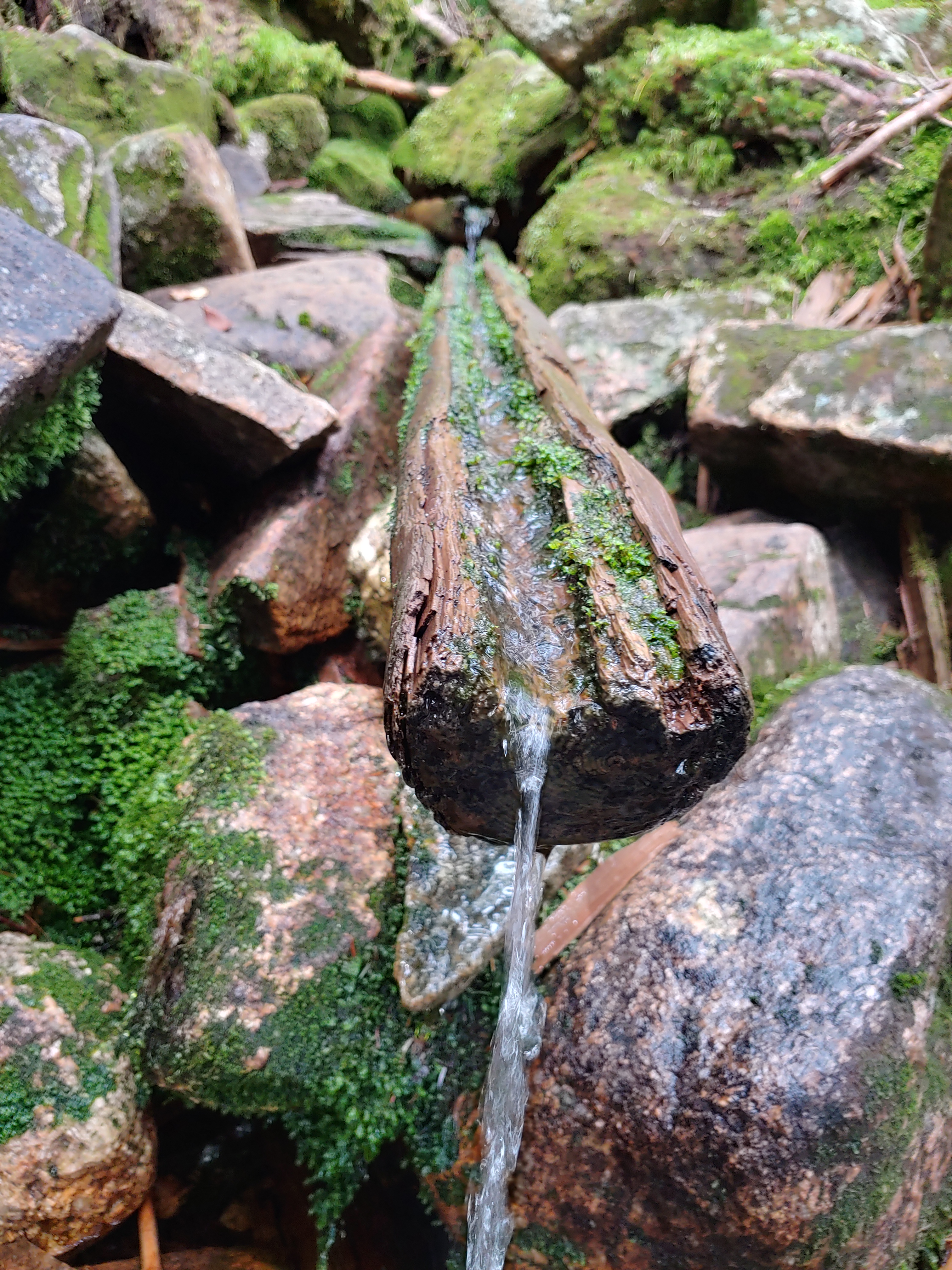
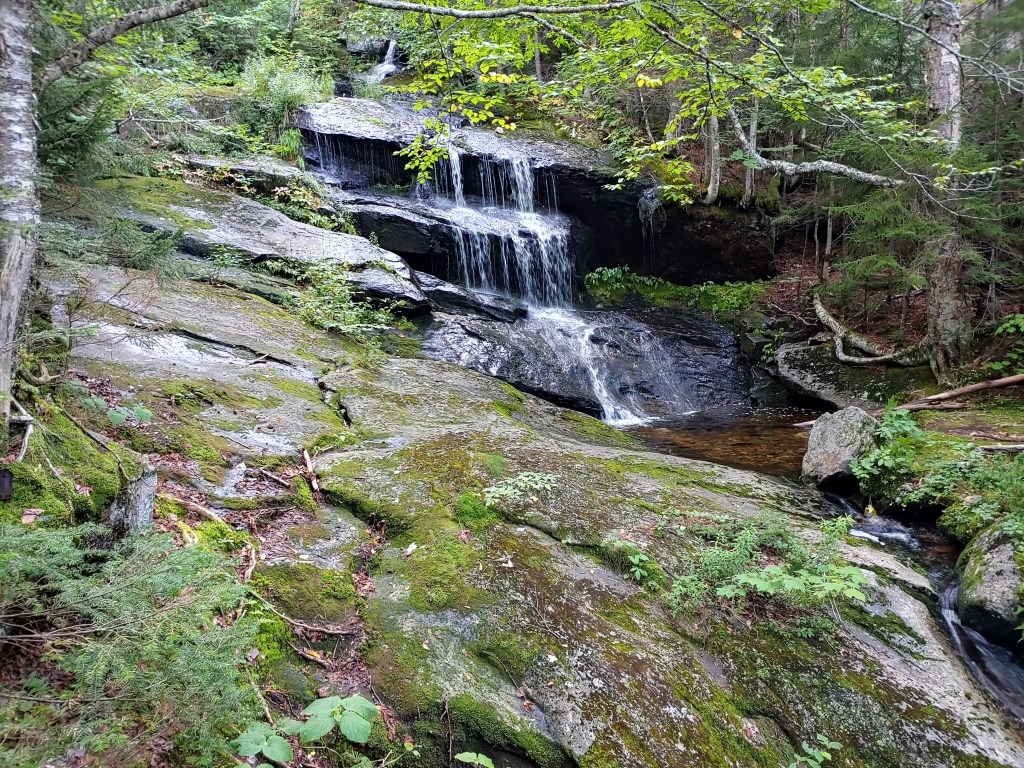
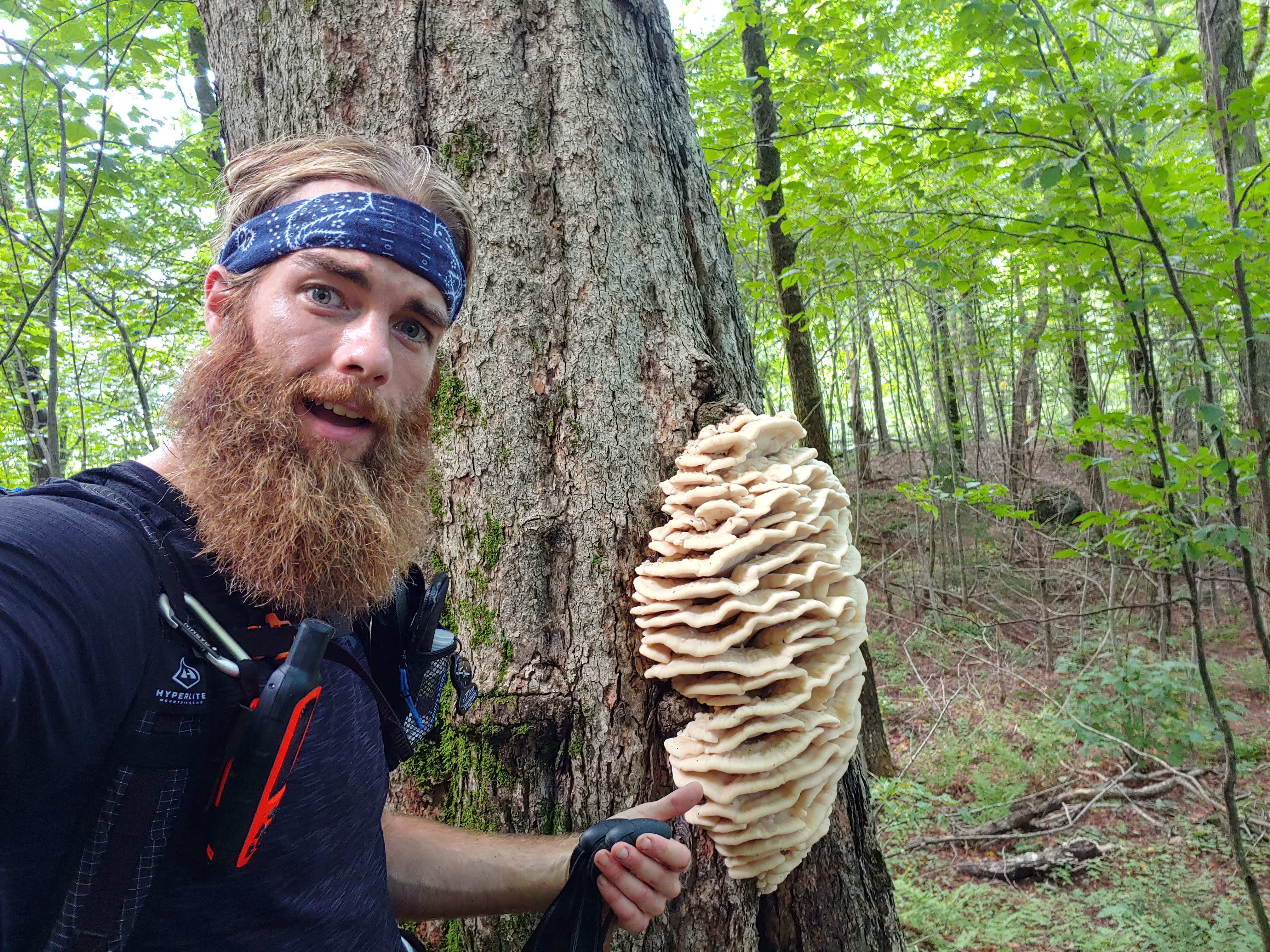
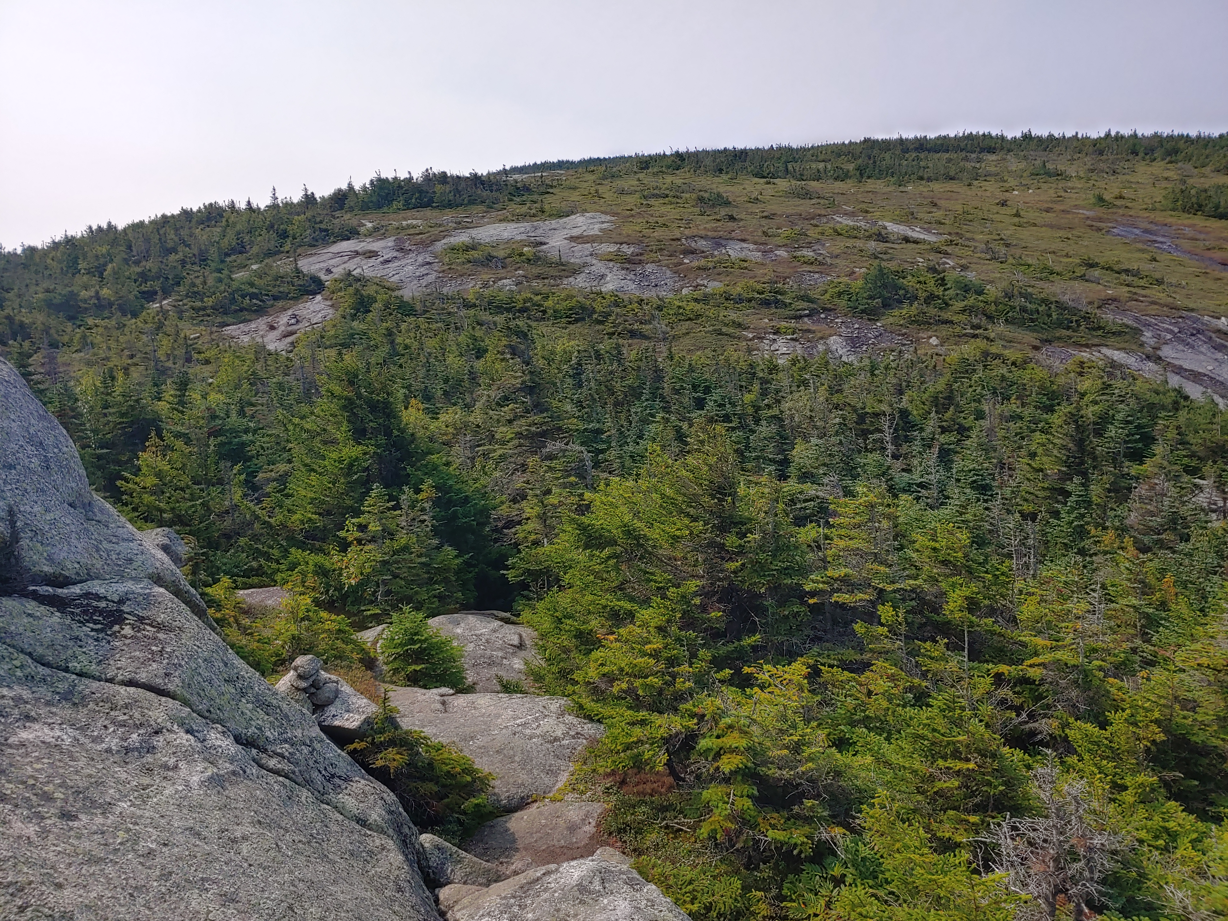
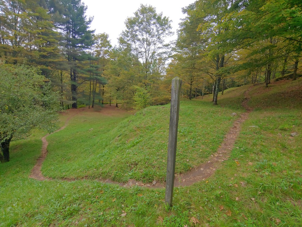
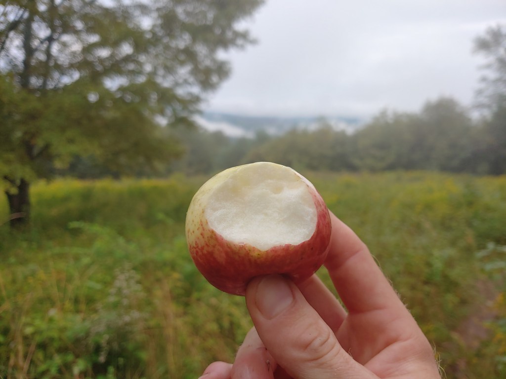
Another change was the abundance of fields bisected by the trail. Without many high peaks, a bulk of the views in the state were located atop these cleared pastures randomly speckled throughout the countryside. Popping out of the trees briefly to pass through grassy open areas, I took advantage of the newest form of trail candy I had come across…wild apples. One spot in particular had two inscribed benches where I stopped to indulge in a few tart yet tasty treats while resting for a bit. The inscriptions were a reminder to relax and enjoy while also welcoming each visitor to the green mountain state.

Thanks Johnny Appleseed

The Appalachian trail in Vermont is a dual personality pathway in the woods. Upon reaching Mt Killington, the presence of other hikers greatly increased since the AT and the slightly older Long Trail share roughly 100 miles through the southern part of the state. Even though they carried large backpacks stuffed with gear separating them from the usual day hiker crowd, it was quite easy to discern who was an LT hiker vs an AT hiker. The type of equipment and comfort items brought on trail were the clear giveaways and, as I headed further south, the cleanliness along with the pleasing aromas of fresh laundry helped to set them apart even with my eyes closed.

“The big yellow one is the sun”

Trail magic was limited but fittingly “when it rains it pours”. It worked out one day where my normal mileage got me near Gifford State Park which is a state-run campground close to the base of Killington. Having researched the area, I knew there was an Irish pub close by with live music scheduled for that night. After pitching camp and getting cleaned up, I hitched a ride over to fill up on music, beer and food. At the bar, I sat next to a group of men chatting and laughing in the typical Friday night fashion. Focused on completing my previous blog post, I was glued to my phone when my idle ears eavesdropped on their dialogue and I offered up a quick joke.

The man to my immediate left turned and chuckled and then introduced himself, giving me a curious look up and down in assessment considering my odd choice of attire which was my cleanest and least smelly clothing at the time (long johns with a t-shirt and shorts worn over top).  Explaining that I was hiking the AT he shifted in his barstool, his eyes brightened up, and we then began to talk about life and politics while sharing a few drinks. He was a retired local and avid skier, pointing to his hat signifying that he skied over 100 days last winter and told me of his plans to do the same again this year.

Pass the pepto please

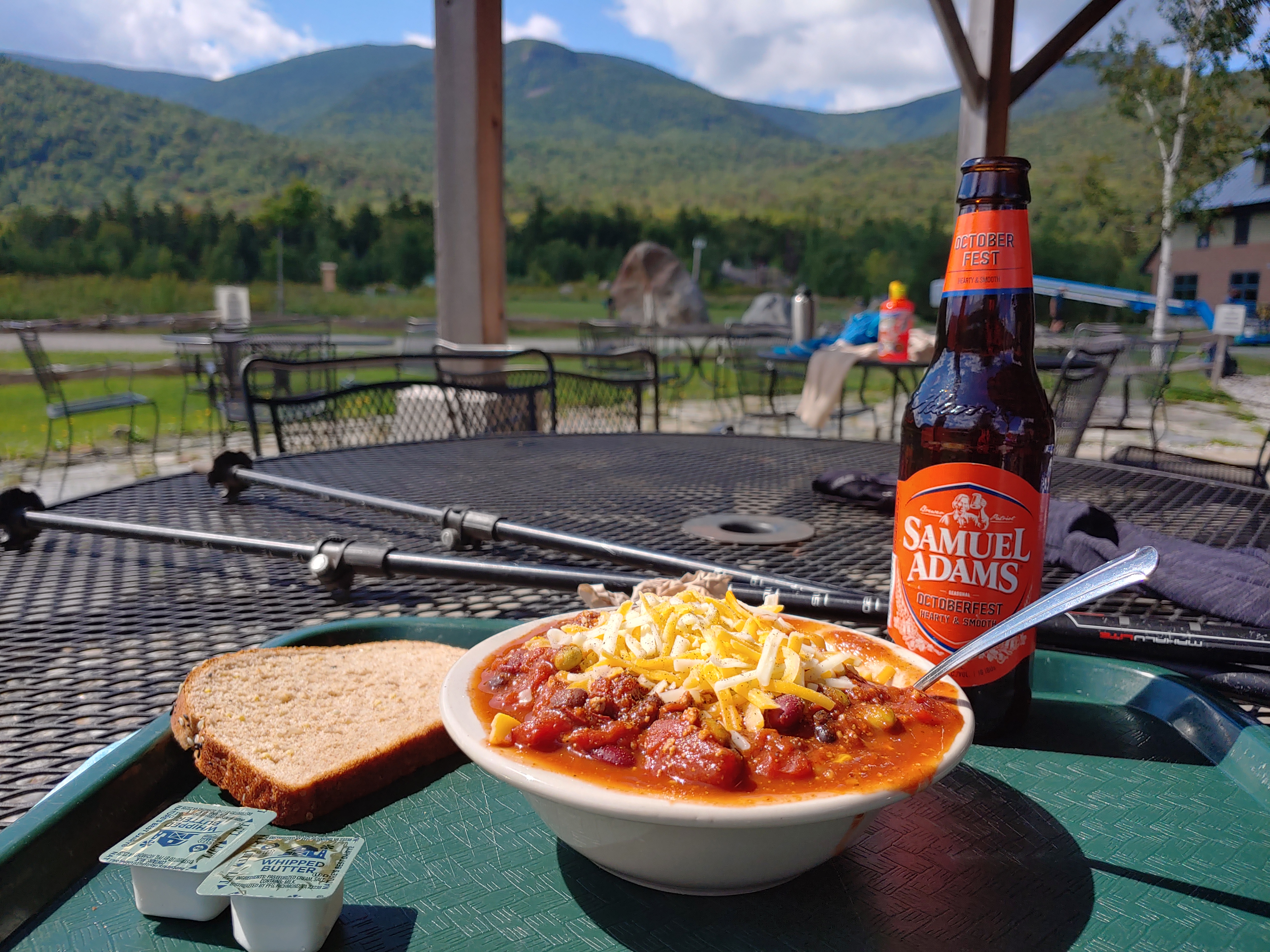
Having the opportunity to indulge on non-dehydrated foods, I quickly ordered loaded nachos, a burger with fries, and homemade bread pudding a la mode, all washed down with some cold local brews. After a few hours of pleasant conversation, it was bill time and my new companion Denny graciously offered to cover my check, which I hesitantly accepted knowing how much I had just eaten. He gave me his number with the invitation to call when I was finished hiking to join him by hitting the slopes once the snow flies.

View from Mt. Killington

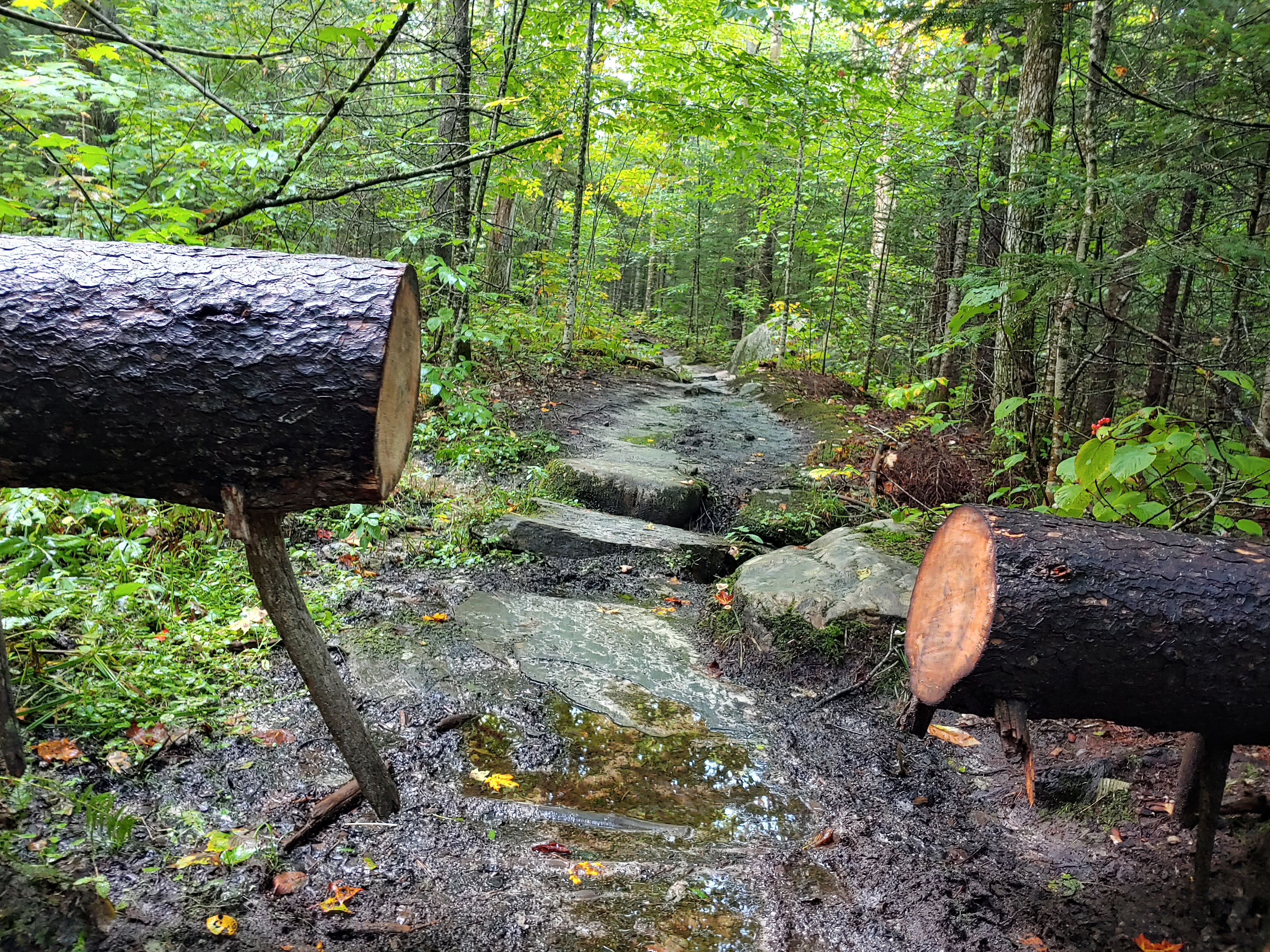
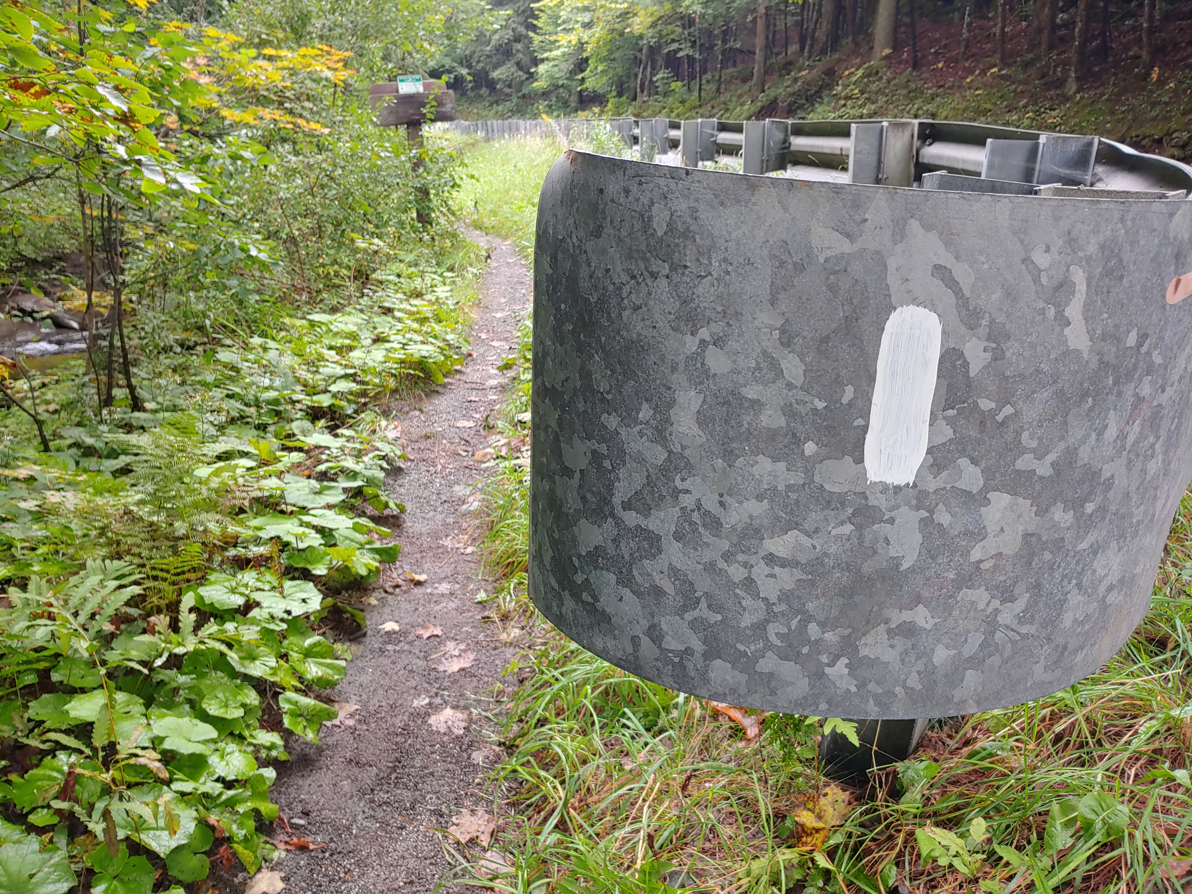
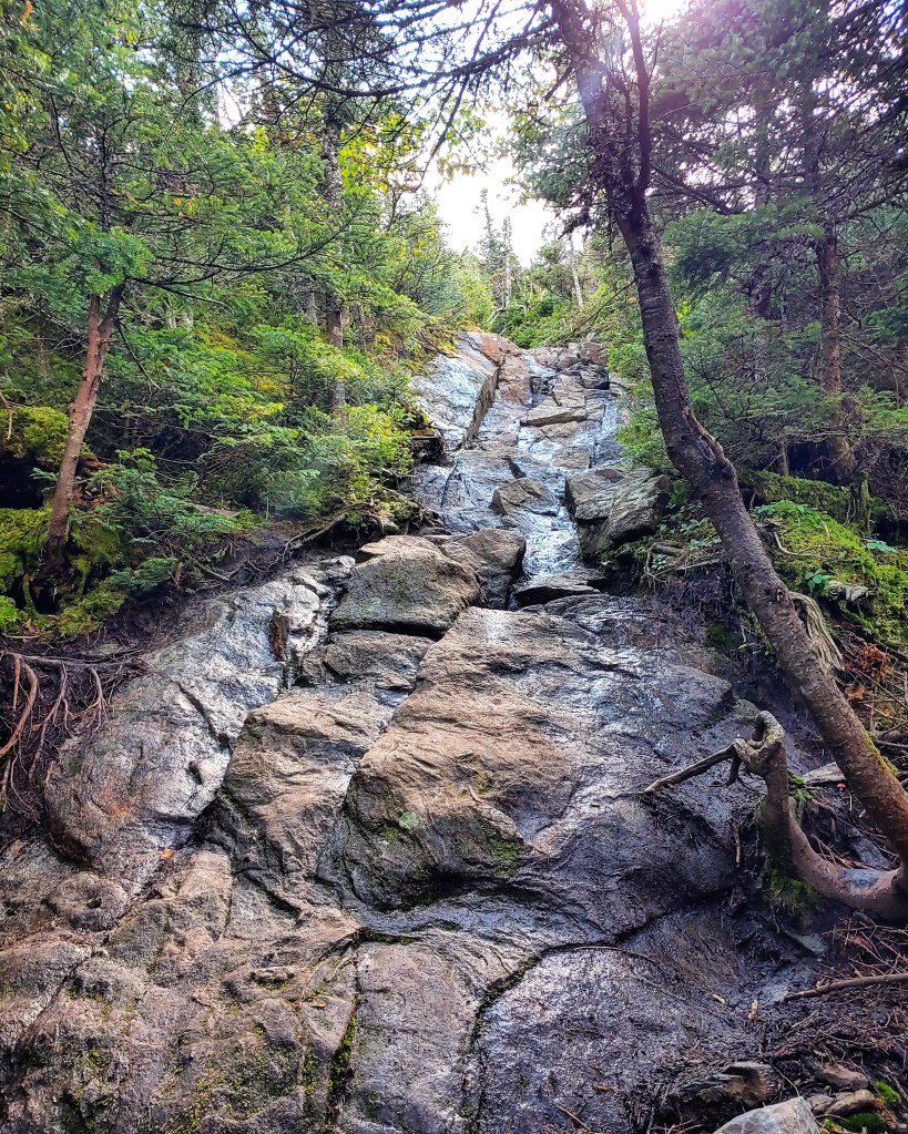
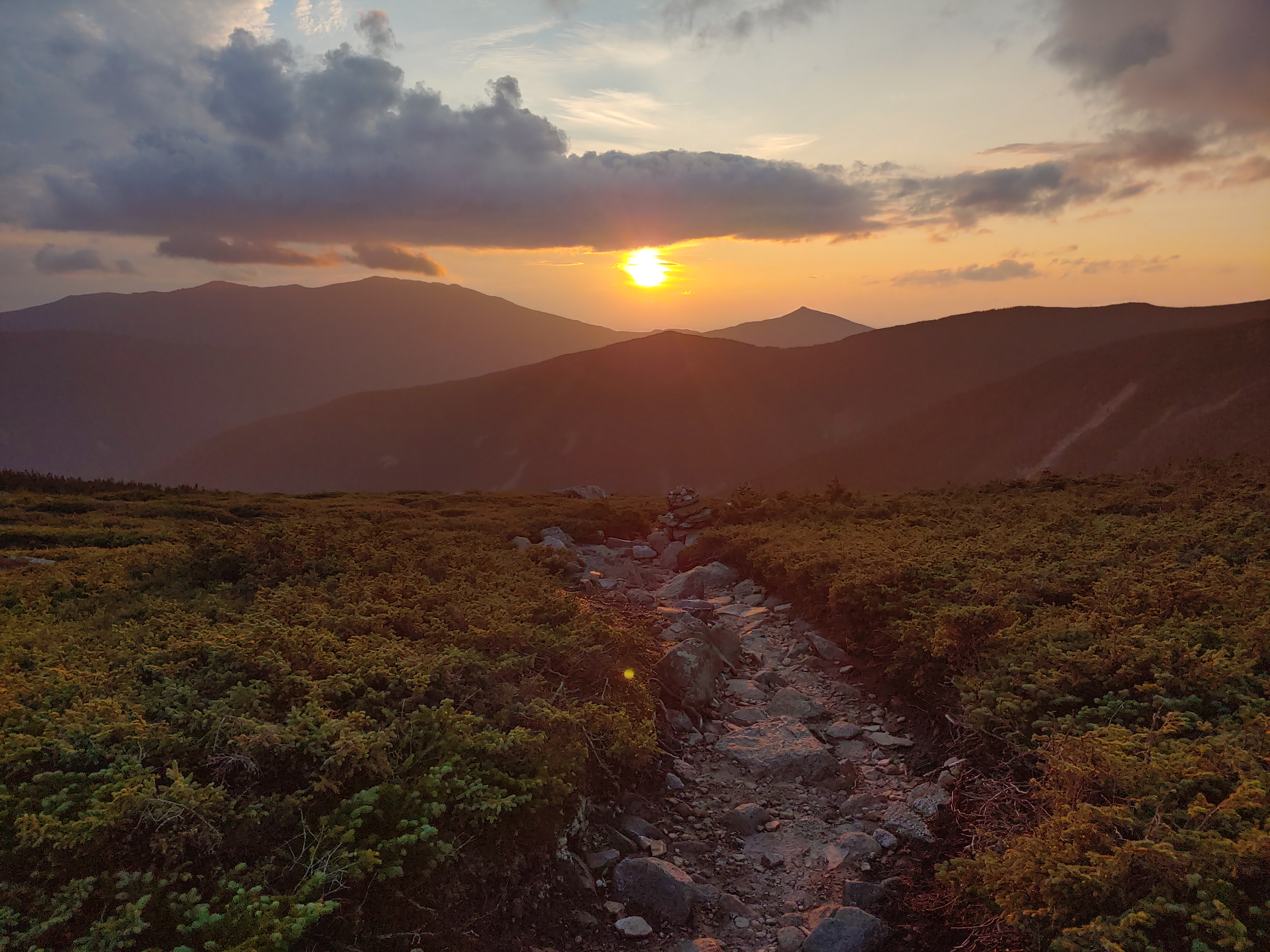
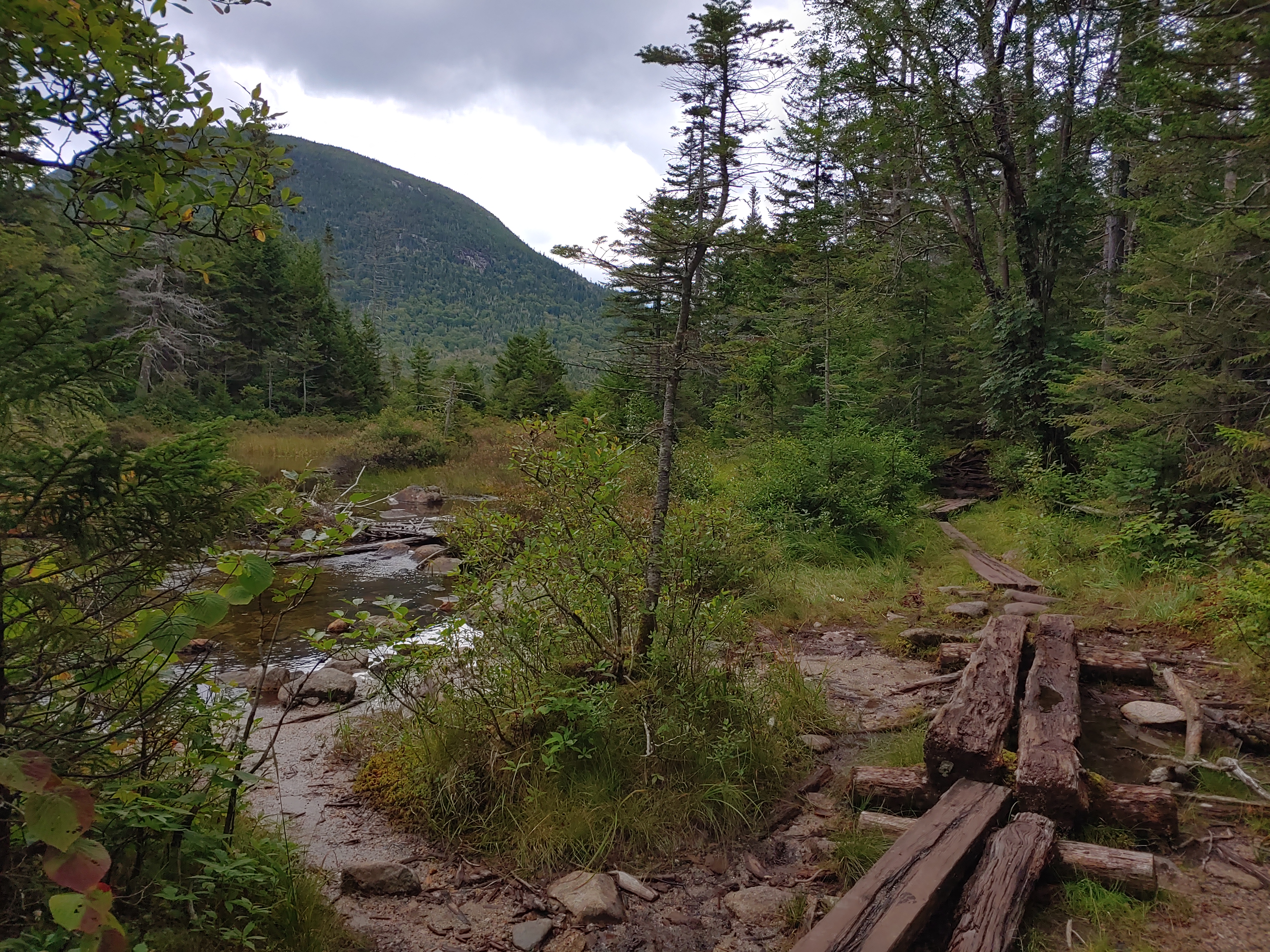
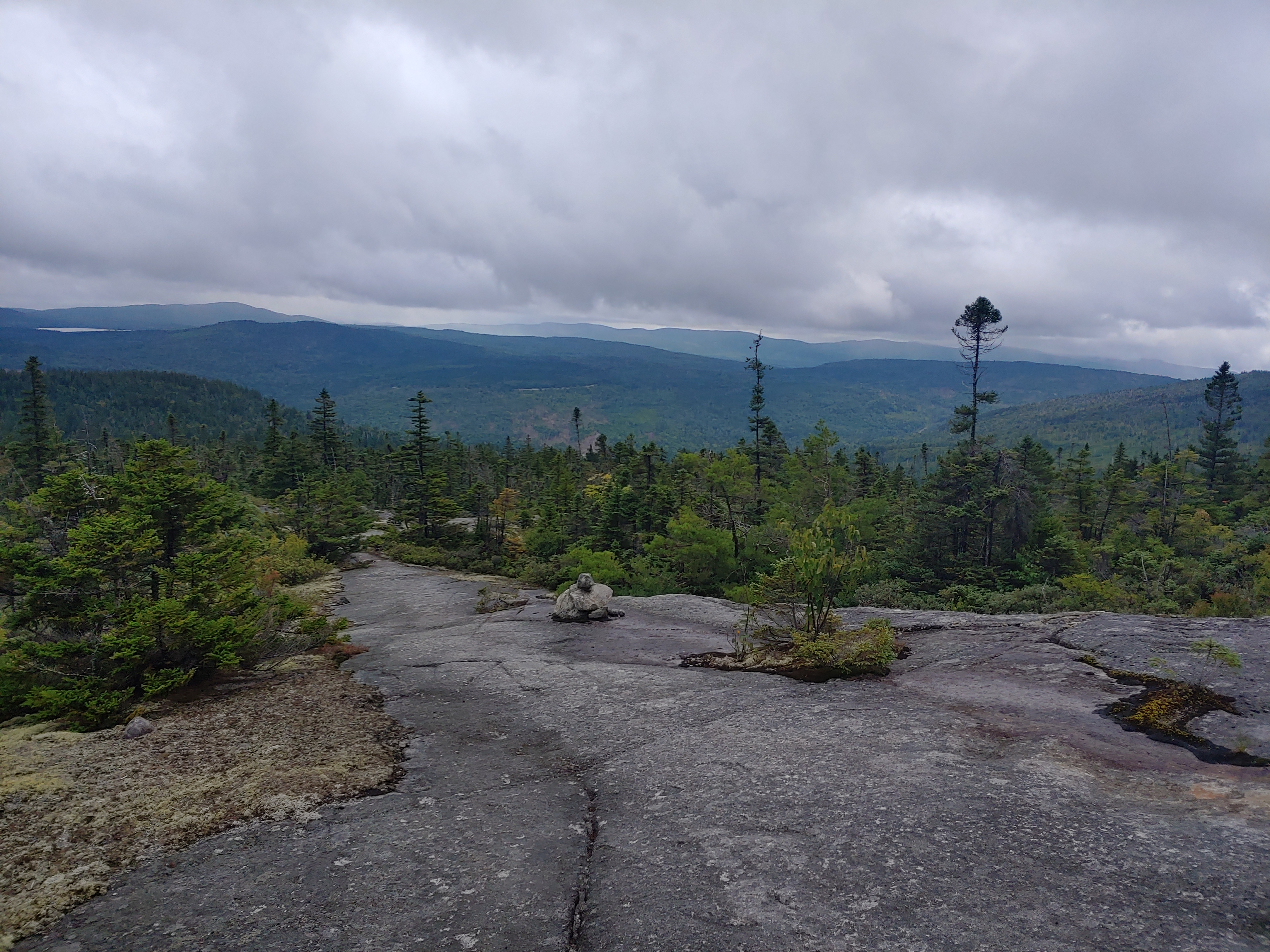
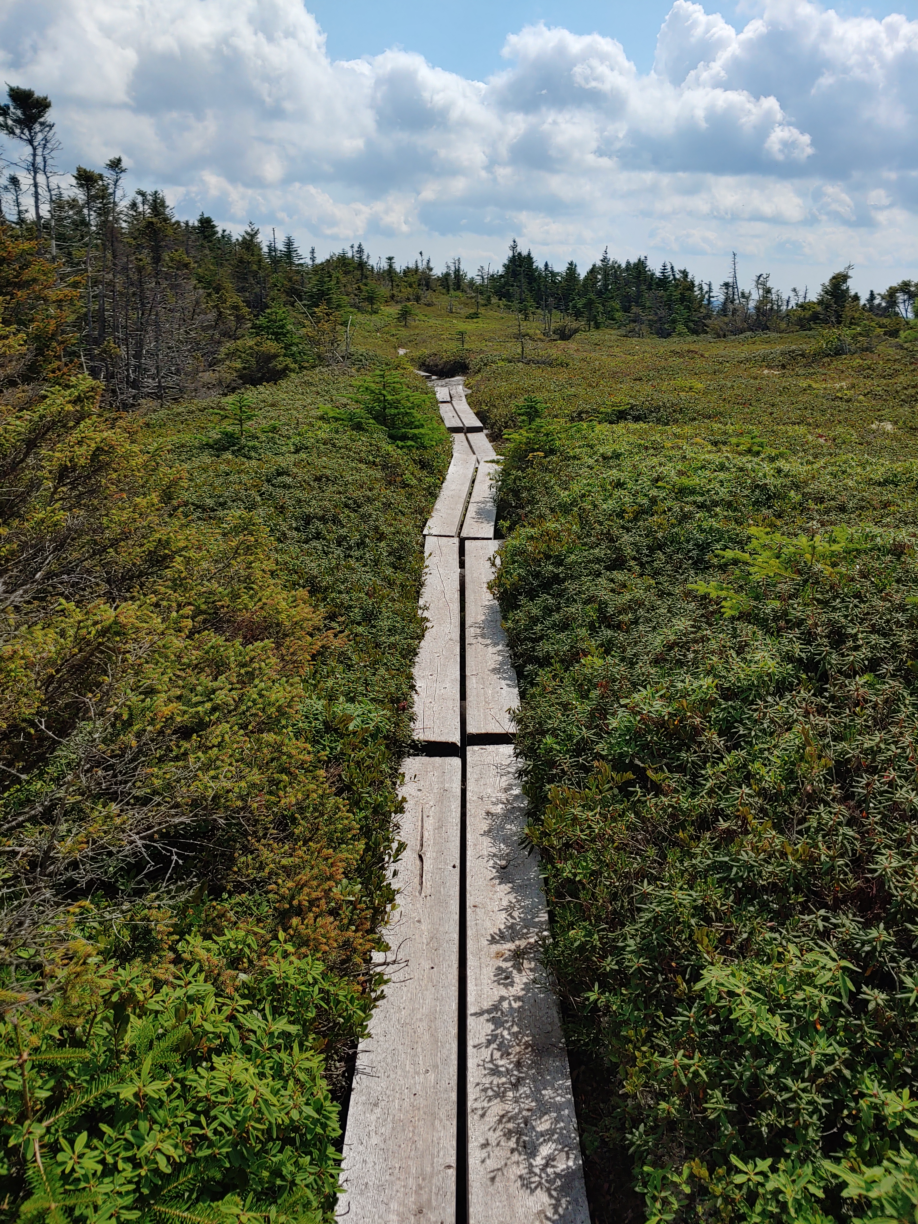
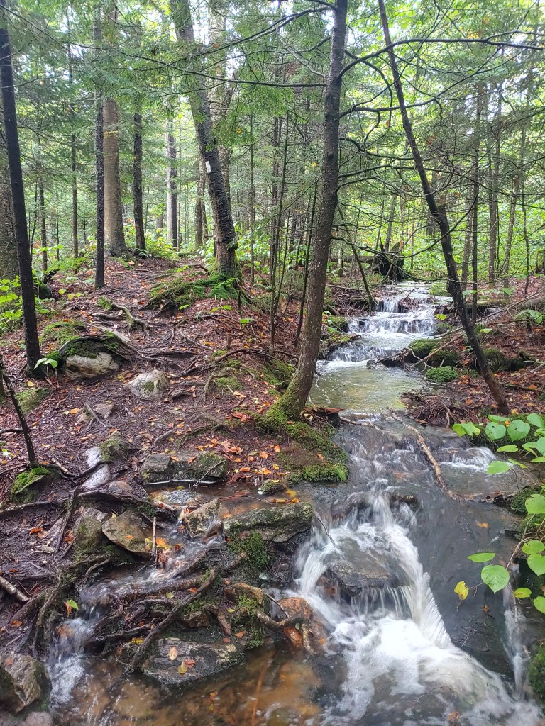
After reaching the rocky summit of Killington the following morning, the trail began to resemble the phrase I had heard used many times before to describe this state. Vermud. Increasingly for the next few days, I encountered some of the slowest moving and annoyingly muddy sections of hiking I have yet to navigate. My pace was stuttered, having to tip toe around massive puddles of watery dirt and mud seemingly everywhere I went. Eventually I perfected a technique of using my trekking poles to form a human bridge over the ponds of muck while gingerly walking around the outer edge of the muddy pools scattered at my feet.

Vermud at its finest

On day eight of nine in Vermont, the weather was warm and dry as I made good time hiking with a fellow SOBO’er and Mainer I joined up with named Pete. We spent a couple hours together chatting and hopping from dry spot to dry spot. He was getting a ride into town that afternoon and we parted ways near a parking lot. No sooner did I start uphill again when the winds intensified and the sky darkened. We had been hearing thunder off in the distance earlier but now it was right on top of me.

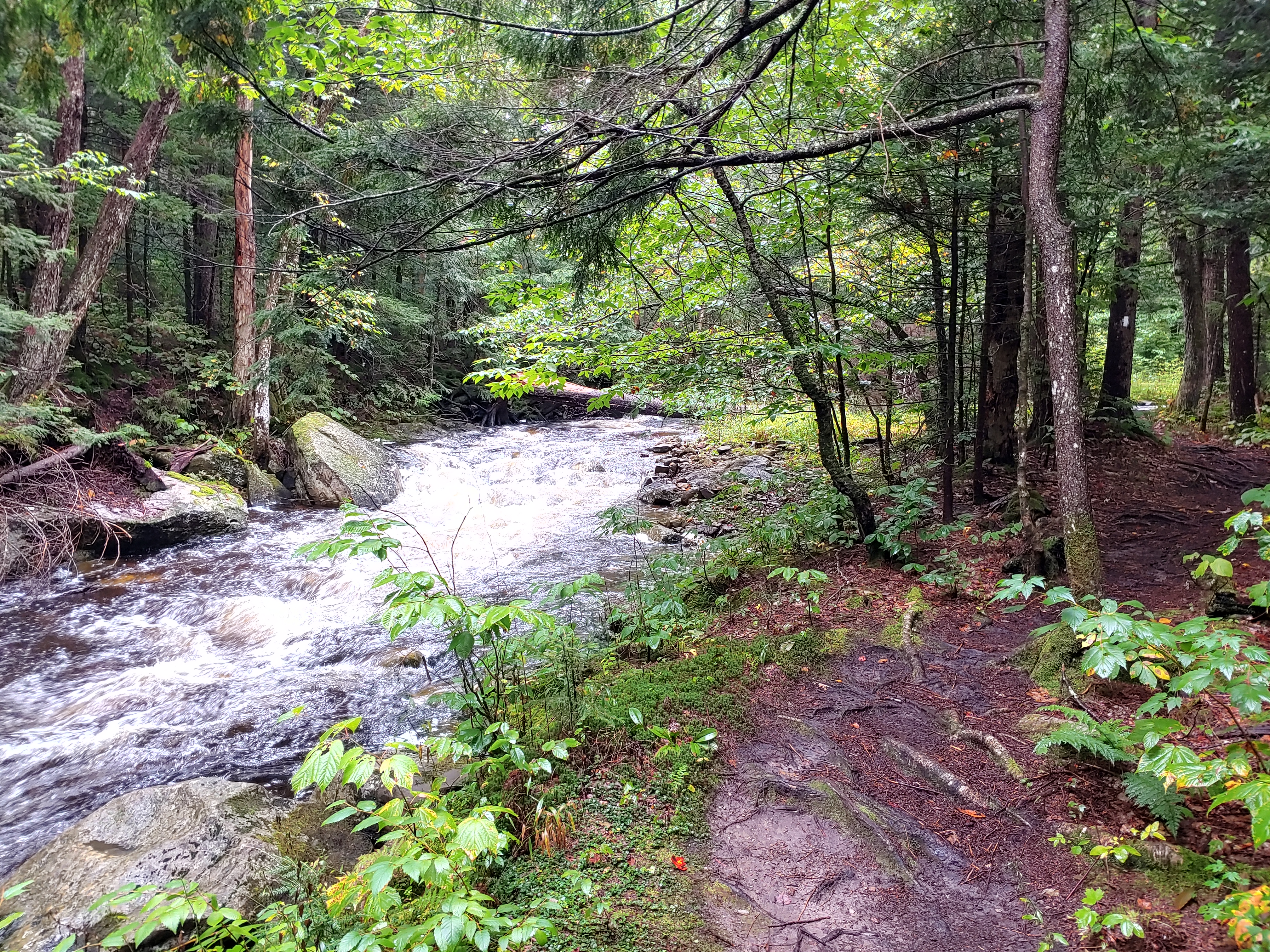
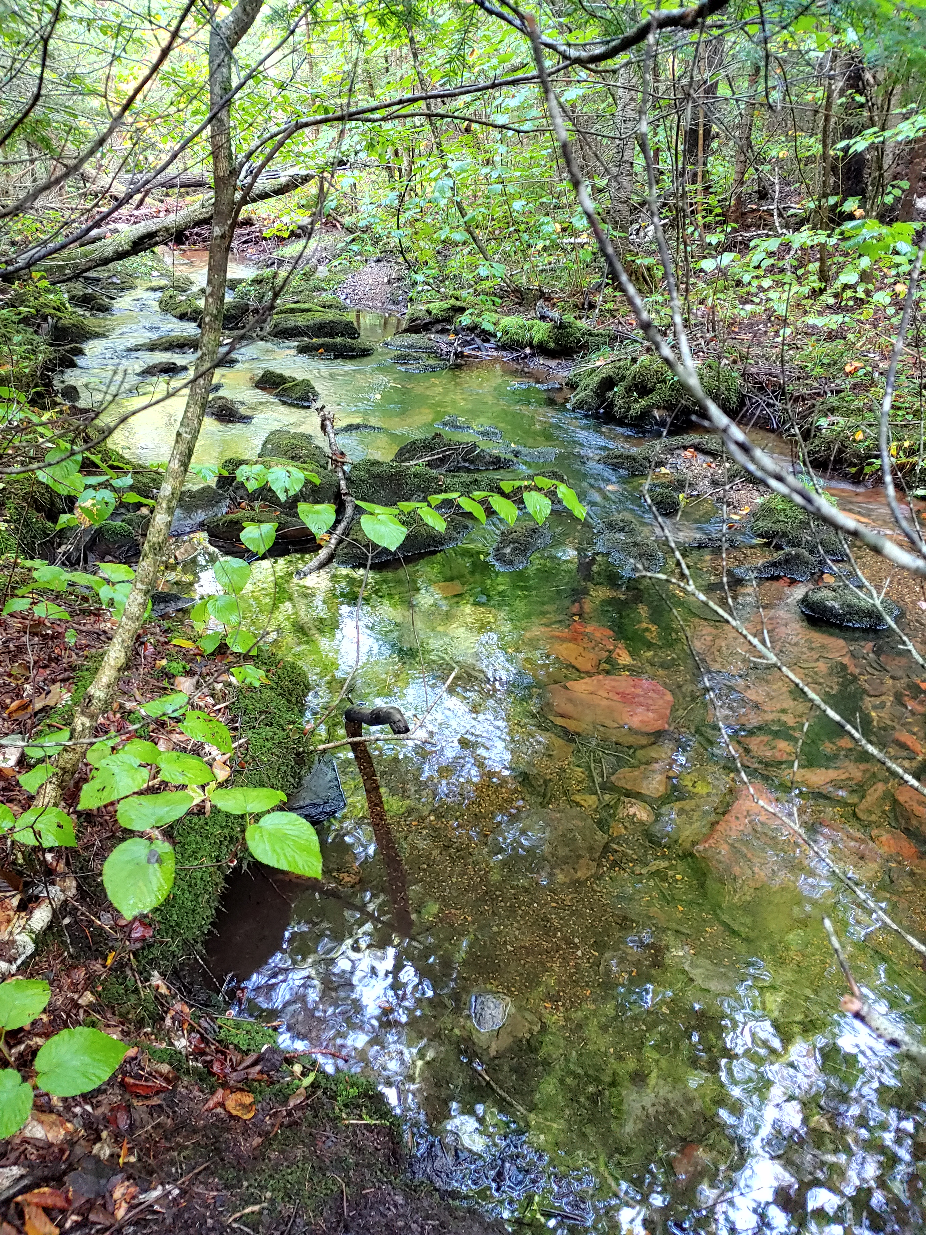
Pausing to put on my poncho, I attempted to wait out the storm as it passed but, after 20 minutes of heavy rain, I decided to march on and finish the remaining 3.5 miles to reach the spot I had planned to camp for the night. Each step was carefully calculated so as to not get my shoes wet, knowing I still had another long day before getting off trail to clean up and resupply. It started raining around 3:30 and by 5:30 I hadn’t yet reached my destination. With the sudden deluge of rain, the trail transitioned into a fast-flowing river, at which point I gave up on keeping my feet dry as the daylight slowly vanished. Trudging through ankle deep water, I finally reached camp around 6:30, fully soaked and quite aggravated. 

Should have brought my kayak

It continued to rain all night and I awoke to pools of water everywhere. The stream I slept next to was raging and the trail was even more of a river than the evening before. Begrudgingly I got dressed by climbing into my cold wet clothing, slapping on my soggy shoes and setting out to wrap up this water-logged state. With knowledge of an upcoming three day vacation from the trail raising my spirits, I abandoned all concerns about my footwear and splashed straight through the middle of every mud puddle I came across while loudly bitching to myself about the lack of proper trail maintenance that led to this situation.

“Two roads diverged in a wood..”

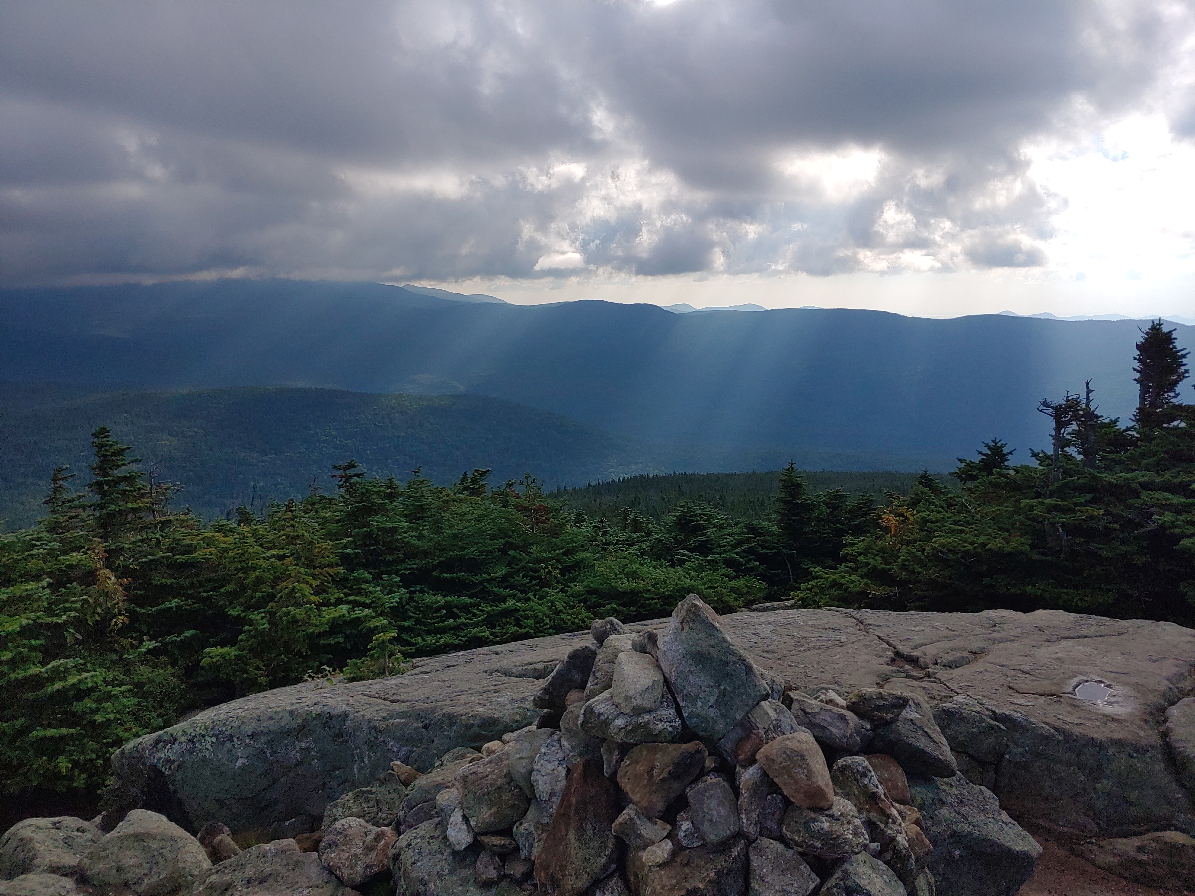
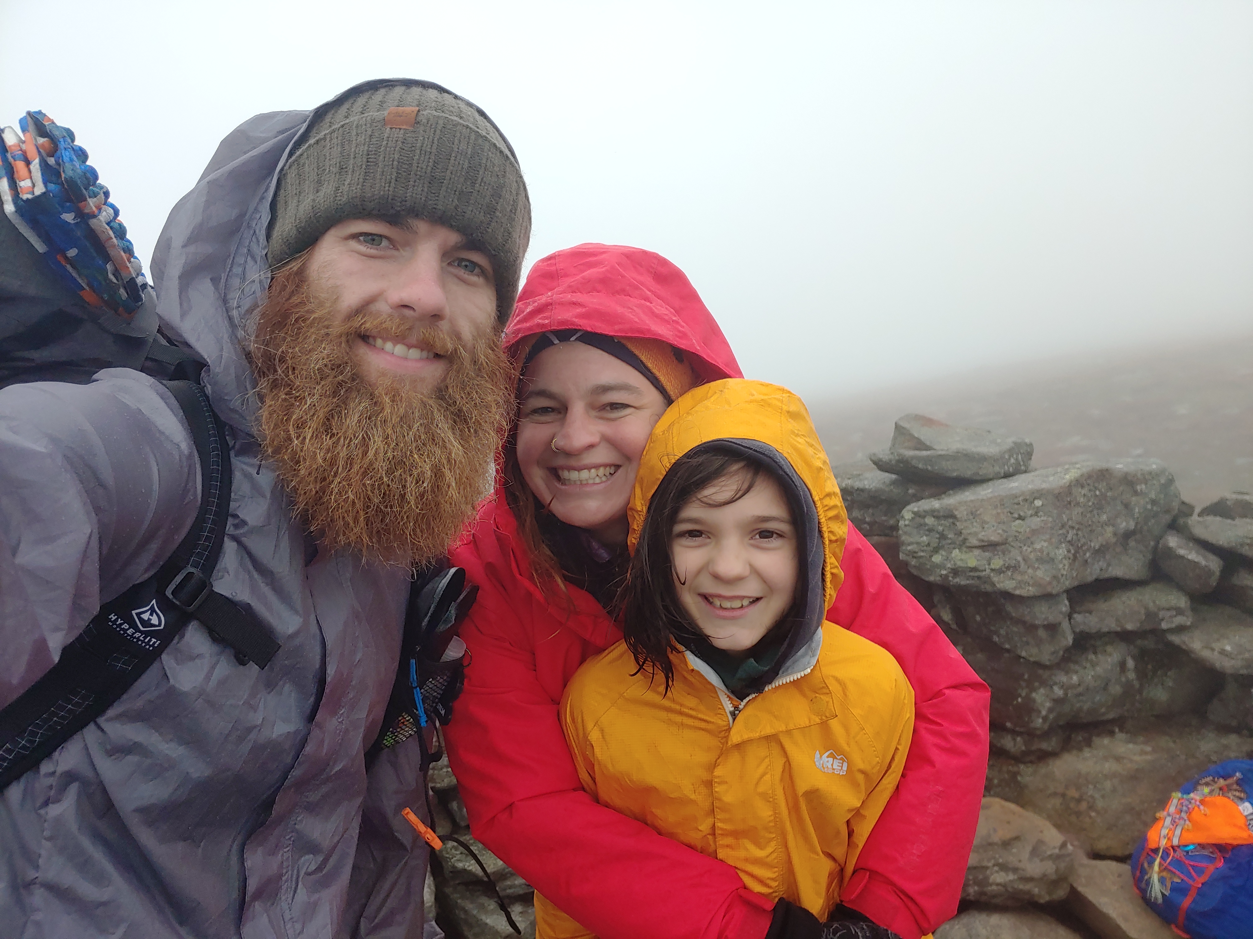
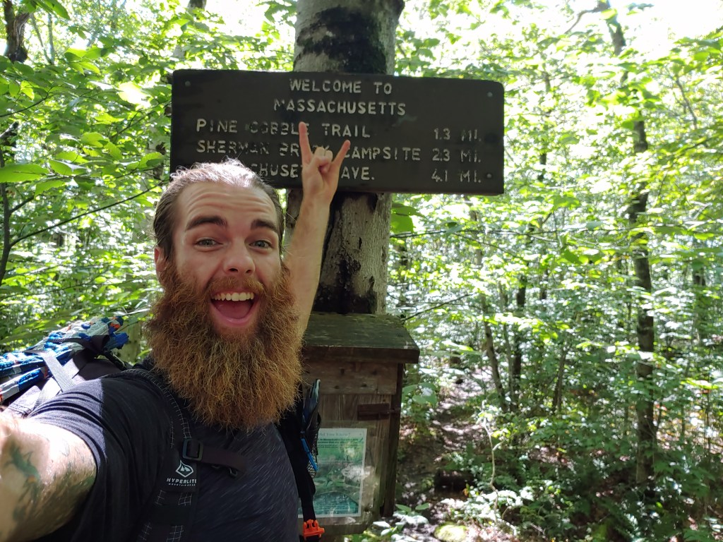
As I crested a small hill, a sign fell into view marking the end of the Long Trail and the entrance into Massachusetts. Quite fittingly the thirty or so feet separating the two signs consisted again of ankle deep mud water, which I sarcastically stomped in like a delighted child after a rain storm. My frustration was quelled with the satisfaction of finishing another state and (as the YouTuber Darwin onthetrail always says) the experience of embracing the suck. I continued a few miles further on to the town of North Adams to meet up with Hannah where she and I ate dinner before heading home to Maine to attend a weekend music festival put on by one of my favorite bands, Skyfoot.

Peace out VT

Each state so far has contained new challenges that make for memorable experiences which set each apart from the other. Nine long days on trail allowed me to conquer Vermont and taught me some good lessons in determination and solidarity that I carried with me into the next state on my southward journey, Massachusetts.

AT Week 4-5_New Hampshire

Everyone said the Whites would be hard and slow hiking but, in just 10 days, I had walked from one edge of New Hampshire to the other, feeling better than ever. Having spent countless hours over the past year checking off high peaks from my NH48 list, I had a sense of comfort and familiarity with this region.

One happy hiker

After celebrating my morning exit from Maine last Friday, it was fitting to next summit Mt. Success. I had thrown myself through the ringer navigating the 282 miles across my home state. My mind was so focused each day on pushing past the suck and racking up mileage that, once in NH, I had to take some time with a map to chart out my course and arrange the next resupply locations.

Later on that night, I was joined by my girlfriend Hannah at the Rattle River Shelter where we shopped for supplies at the nearest Walmart and later dined at the local pub. My hiker hunger and gentle charm sparked the bartender to wager a food challenge that I easily won. She clearly underestimated how much of a bottomless pit my stomach has become. Tasked with finishing the entire chicken prosciutto pizza and lamb burger with fries I ordered for my dinner and also eating a big slice of homemade strawberry cake with all the fixings without assistance, I easily won us free beers and dessert. It was quite literally a piece of cake 😉

Trail Angel Hannah near Mt. Moriah summit

The following morning, Hannah accompanied me on the trek up to Mt. Moriah. On top of the 4000 footer’s summit we ate lunch, tried feeding the numerous Gray Jays that greeted us, and then said our goodbyes as I continued on south down the AT. I then summited three more 4000 footers that day before setting up camp at a tentsite near the Carter Notch hut. 

Realizing that within a few days I would be hitting the Presidential Range including Mt. Washington, my excitement and anxiety levels grew. I had wanted to hike the entire presi-traverse in one day since camping anywhere above treeline along the 15-mile stretch is strictly prohibited and confined only to very pricey mountain huts. Having hiked this section on an eleven-hour day hike last fall, I was aware of the challenge ahead of me.

“If it was easy, everyone would do it.”

The next day, after bagging two more 4000 footers (the Wildcats), I stopped at the Pinkham Notch center to recharge my electronics and fill up on some thru-hiker discounted but still heaping full bowls of chili served with fresh wheat bread. While digesting my second helping, I checked the weather, packed up, and then left for the Osgood tentsite. The following day’s forecast called for strong afternoon thunderstorms which complicated my plans for a one-day trek across the Presidential Range. I decided to chance it and left camp at 5:45 the next morning in hopes of ducking for cover in the Mt Washington visitor center while the worst of the storm past overhead.

Sunrise view from Mt. Madison

Hiking up Madison, I caught a brief glimpse of a late sunrise before being engulfed in blowing mist (what I have termed “slow-rain”). After taking a painful slip, I slowed my pace to stay upright and on two feet. Stopping only for a quick coffee break at the Madison hut, I stepped out and back into the soggy chilly air to venture southward since time was of the essence.

Great views

In the last mile to Washington, two loaded Cog Railroad cars passed by just as the rain began to intensify. In the low visibility, I pinballed up the mountain from cairn to cairn finally reaching the summit around 11 o’clock to take refuge from the weather. Feasting on cafeteria pizza, chips and soda, I dried off as best I could when I noticed a couple stroll in who I had passed earlier. Noticing they were dripping wet from head to toe, I gave a head nod of acknowledgement as one of them said, “Looks like you missed the hail.!?” Patting myself on the back for my predawn start, I packed up and headed back out into the howling fog. I arrived at the Nauman tentsite a few hours later in high spirits. Completing my traverse right as the clouds broke I laid out my gear in the sun to dry and munched on some fruit snacks with a smile on my face.

The sun and goldenrod at Mitzpah Hut

Even with this section behind me, I still had ten 4000 footers to summit before leaving New Hampshire. Next up was a gorgeous and sunny trek to Mt Zealand, stopping at Thoreau Falls for a scenic break and spending some time in the Zealand Notch chatting with a local day hiker. The next day tackling South Twin, Garfield, Lafayette, Lincoln and Liberty was a breeze, albeit more of a gusty cold wind than a breeze 😉 . As luck would have it, the internet plus trail magic landed me a free and calorie filled ride into town for a much needed resupply.

Thoreau Falls

Knowing I had five more days before reaching the western edge of New Hampshire, I spent the night at the Notch Hostel to clean up and pig out. Given the lack of shuttle options and my economic efficiency (I’m cheap) I decided to take a loaner bike into town. Six pedaled miles later I returned to my place of lodging with food in hand and a nagging concern. I wondered if, since I had the energy to ride a bike after a day spent hiking 17 miles, maybe I have some weird form of restless leg syndrome? I never did get around to checking WebMD on that…oh well.

I’m getting closer to some MAGIC

Trail Angels were in abundance the following days. I was joined by my good friend Kris and her son Ronin at the summit of Mt. Moosilauke on Friday for some snacks, trail talk and of course laughter. Then on Saturday, my Aunt’s family met me at a road crossing for a huge bacon cheeseburger lunch that I polished off with chocolate milk, beer and hard boiled eggs. Leaving feeling stuffed, I hiked south together with my aunt and uncle for awhile. Sharing my time on the trail with people I know and love adds a layer of support that helps me get through the harder days when it is just me and the miles ahead.

Steep climb up the Cascades on Moosilauke

Moosilauke marks the end of the White Mountains and the shift in terrain was noticeable to say the least. Wider less mountainous trail combined with soft forest floor meant the next two days were more easily accomplished than anything from the month prior. So by Monday morning around 11am, I leisurely waltzed through downtown Hanover with pep in my step, smiling brightly back at the curious and confused faces of the crowds enjoying their Labor Day holiday along Main Street because I knew that just down the block I would be entering the third state on my southbound AT hike.

The taste of success..and granite.

Stepping over an imaginary invisible line dividing the two New England neighbors felt amazing. Suspended high above the river, a polished granite plaque signified the end of one state and beginning of another. I had proven to myself that I can “walk the walk” as the saying goes. Joy filled my being as once again Hannah’s cheerful gaze caught my eye. With celebratory photos and sweaty hugs out of the way, we proceeded to enjoy the rest of our day together in Hanover. I zeroed the next day to sight-see and recoup before heading out on the trail to take on Vermont.

AT Week 3_Southern Maine

Navigating the notoriously difficult southern Maine section of the Appalachian Trail proved to be a slow but steady challenge this week. Wet, rocky and rooty footing coupled with soggy misty days made for more tedious terrain to travel.

Cautiously advancing through the muddy miles, I still racked up plenty of scrapes and bruises. One morning after slipping and falling I rose to collect myself and immediately was stung by a bee. “Great!” Slowing my pace improved my confidence but didnt prevent further scuffs and dings. Gravity plus mud make for a constant struggle to stay vertical.

Dryness adds to the overall comfort we feel when starting a morning (or anytime for that matter). Climbing into damp, cold sweat-soured clothing first thing is not a pleasant task and something I have not yet gotten used to. Knowing that your day will be spent hiking in wet shoes can suck the motivation out of you quickly but the trail beckons and I am here to answer the call.

The falls on the way up to Old Speck

Mid-way through the week the weather turned drier as the heat returned again. Even though there wasn’t rain from the sky, my excess sweat precipitation still managed to leave me dripping wet from head to toe. My shoes in particular took a smelly beating as the perspired droplets trickled down my torso and legs, funneling nicely into my trail runners. I was quite pleased to swap them out for a new pair when my mom met me for a resupply at Grafton Notch and brought a local favorite (George’s Italians) for some trail magic lunch.

Well fed, cleaned up and laundered, I restarted my hike that evening at 5:30 heading up to Speck Pond campsite. Driving to the trailhead from town and noticing the dashboard thermometer reading of 83 degrees, I quickly dreaded the thought of a late evening hike up a 4000 footer. Taking my time, I gingerly climbed the 4.6 miles. As I rose in elevation, the sun dropped behind the mountain while a cooling breeze eased my concerns and dried my sweat covered brow. Reaching the summit as the sunset, I was rewarded with beautiful sky colors and strolled into the campsite after dark, guided by the light of my headlamp.

The next morning’s hike through the infamous Mahoosuc Notch, “the most difficult mile of the AT”, actually was a fun experience. At times it was akin to bouldering at a rock gym. Trekking poles tucked away in my bag, I was hoisting myself up and over pickup truck sized rocks. Points where I had to remove my pack and required a fellow hiker Gandalf to help pass my bag through an opening no larger than a manhole cover and down into a crevice in order to proceed further along the trail.

Although the air was hot and humid that day, the shape and position of the notch in relation to the sun means that the water running underneath your feet remains ice cold all year. Fog was actually rising from the rocky ground and blasts of cold air made for a refreshing reprieve from the normal summer heat. The sensation felt like driving with the AC on but with the windows down on a hot day.

Camping at Carlo Col that night, I rested easy knowing that I was a half mile from the New Hampshire border. The Southern Maine section lived up to its reputation as a tough part of the trail leaving many more miles to still explore.